


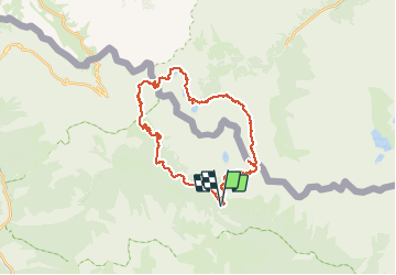

7.8 km | 16.3 km-effort


User


FREE GPS app for hiking
 SityTrail
IGN / Geographical institutes
SityTrail World
The world is yours!
Trail Walking of 34 km to be discovered at Provence-Alpes-Côte d'Azur, Maritime Alps, Saint-Martin-Vésubie. This trail is proposed by yvan06.
Circuit sur 2 jours, avec bivouac au lac de Claus (préférable pou mettre sa tente) ou refuge de Questa. Petit détour facultatif à la cime de Fremamorte.

Walking

Walking

On foot

On foot

On foot

Walking

Walking
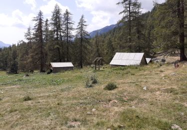
Walking
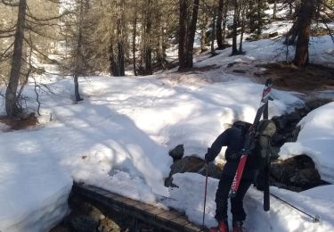
Touring skiing