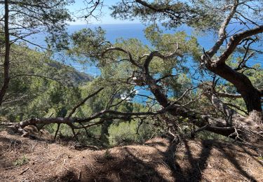
8.2 km | 10.7 km-effort
Sentier du Brusc
adjojo
User
Length
11.8 km
Max alt
262 m
Uphill gradient
342 m
Km-Effort
16.4 km
Min alt
-1 m
Downhill gradient
343 m
Boucle
Yes
Creation date :
2014-12-10 00:00:00.0
Updated on :
2014-12-10 00:00:00.0
3h38
Difficulty : Easy
FREE GPS app for hiking
About
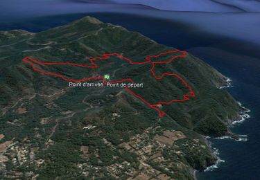
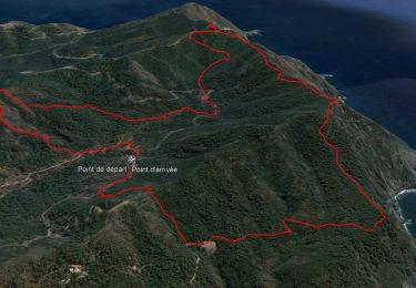
Trail Walking of 11.8 km to be discovered at Provence-Alpes-Côte d'Azur, Var, Six-Fours-les-Plages. This trail is proposed by adjojo.
Description
Sentier du Brusc
Positioning
Country:
France
Region :
Provence-Alpes-Côte d'Azur
Department/Province :
Var
Municipality :
Six-Fours-les-Plages
Location:
Unknown
Start:(Dec)
Start:(UTM)
727920 ; 4772885 (31T) N.
Comments
Trails nearby
ND de Pepiole via colline du fort de Six-Fours, retour par Les Lônes
Walking
Easy
(1)
Six-Fours-les-Plages,
Provence-Alpes-Côte d'Azur,
Var,
France
3h 0min
Yes
Le sentier du littoral
Walking
Difficult
(1)
Six-Fours-les-Plages,
Provence-Alpes-Côte d'Azur,
Var,
France
11 km | 15.8 km-effort
3h 23min
Yes
ND de Pepiole via colline du fort de Six-Fours
Walking
Easy
(1)
Six-Fours-les-Plages,
Provence-Alpes-Côte d'Azur,
Var,
France
8.7 km | 12.3 km-effort
3h 0min
Yes
Randonnée - Roumagnan - Dolmen de La Lèque - Sentier du Littoral
Walking
Medium
Six-Fours-les-Plages,
Provence-Alpes-Côte d'Azur,
Var,
France
7.3 km | 12 km-effort
4h 0min
Yes
Cap Sicié - Notre Dame du Mai - Six fours
Walking
Medium
Six-Fours-les-Plages,
Provence-Alpes-Côte d'Azur,
Var,
France
8.1 km | 13.4 km-effort
3h 53min
Yes
janas
Walking
Easy
(2)
La Seyne-sur-Mer,
Provence-Alpes-Côte d'Azur,
Var,
France
11.8 km | 17.6 km-effort
1h 33min
Yes
col de garde et castellet
Cycle
Very easy
(1)
Six-Fours-les-Plages,
Provence-Alpes-Côte d'Azur,
Var,
France
88 km | 106 km-effort
18h 36min
No
ND de La Garde ou du Mai
Walking
Difficult
Six-Fours-les-Plages,
Provence-Alpes-Côte d'Azur,
Var,
France
16.1 km | 24 km-effort
5h 25min
Yes
Notre Dame du Mai
Walking
Easy
Six-Fours-les-Plages,
Provence-Alpes-Côte d'Azur,
Var,
France
13.7 km | 19.5 km-effort
3h 23min
Yes