


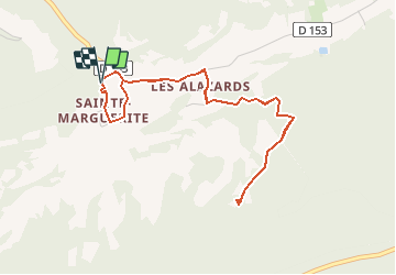

18.8 km | 25 km-effort


User


FREE GPS app for hiking
 SityTrail
IGN / Geographical institutes
SityTrail World
The world is yours!
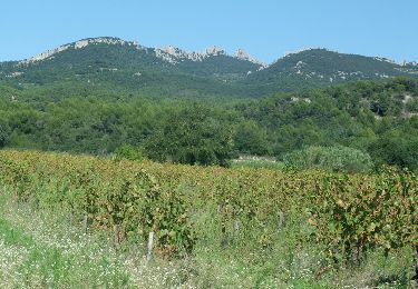
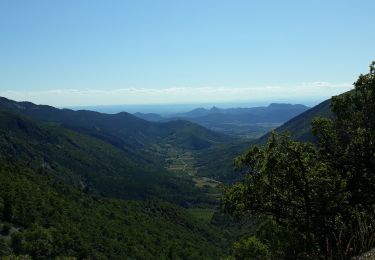
Trail Walking of 5.1 km to be discovered at Provence-Alpes-Côte d'Azur, Vaucluse, Beaumont-du-Ventoux. This trail is proposed by dejongm.
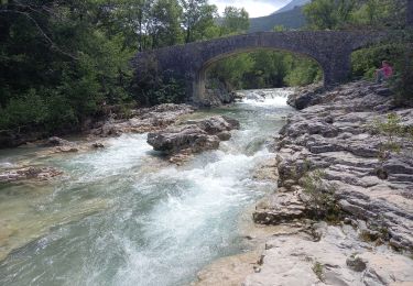
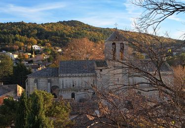
Mollans : Enttre les chapelles Sainte Marguerite et Saint Sidoine

Walking
Walking

Walking

Walking
Walking

Walking

Walking
Walking
Walking