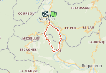

11.3 km | 20 km-effort

User


FREE GPS app for hiking
 SityTrail
IGN / Geographical institutes
SityTrail World
The world is yours!
Trail Walking of 8.8 km to be discovered at Occitania, Hérault, Vieussan. This trail is proposed by PiloudeBamako.
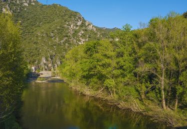
Départ et retour par la passerelle piétons enjambant l'Orb à l'entrée de Vieussan (200 m avant le Lézard bleu). Après avoir traversé l'Or, rejoindre le bas du hameau de Boissezon pour trouver le départ de la boucle.
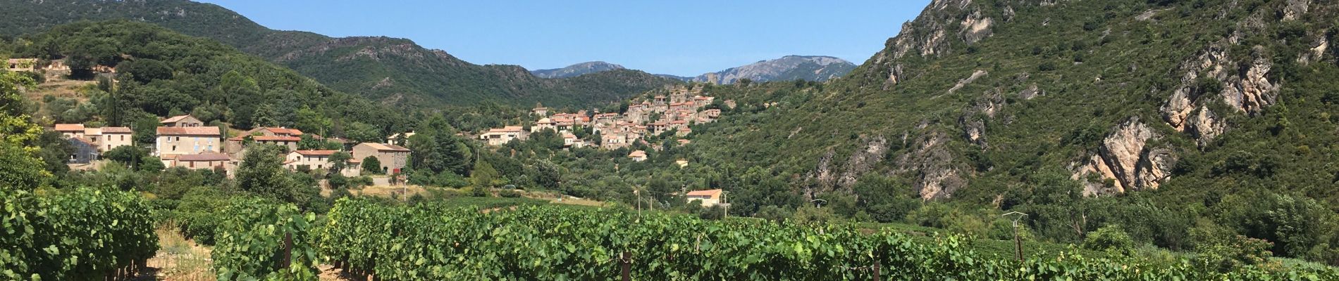
Belles vues en balcon au-dessus de l'Or sur le retour de Ceps à Vieussan.


Walking

Walking

Walking

Walking

Walking

Walking

Walking

On foot