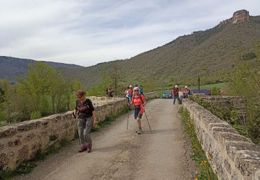
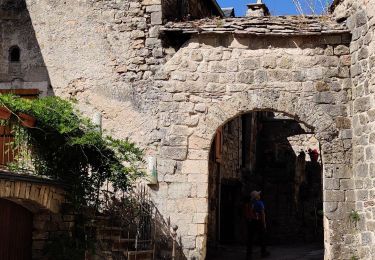
13.5 km | 15.6 km-effort
Roc des Nantais
viam19
User
Length
9.3 km
Max alt
861 m
Uphill gradient
473 m
Km-Effort
15.6 km
Min alt
474 m
Downhill gradient
471 m
Boucle
No
Creation date :
2020-08-14 08:26:54.49
Updated on :
2020-08-14 14:17:48.96
4h18
Difficulty : Medium
FREE GPS app for hiking
About
Trail Walking of 9.3 km to be discovered at Occitania, Aveyron, Nant. This trail is proposed by viam19.
Description
randonnee en boucle
Positioning
Country:
France
Region :
Occitania
Department/Province :
Aveyron
Municipality :
Nant
Location:
Unknown
Start:(Dec)
Start:(UTM)
523632 ; 4874255 (31T) N.
Comments
Trails nearby
sources de Dourzon
Walking
Very easy
(1)
L'Hospitalet-du-Larzac,
Occitania,
Aveyron,
France
12.1 km | 15.8 km-effort
3h 23min
Yes
Descente des Canallettes à la source du Durzon
Walking
Medium
Nant,
Occitania,
Aveyron,
France
10.9 km | 14.5 km-effort
3h 17min
Yes
Nant Cantobre Nant
Walking
Medium
Nant,
Occitania,
Aveyron,
France
15.3 km | 23 km-effort
7h 1min
Yes
Canoles du Larzac
Nordic walking
Very easy
(1)
Nant,
Occitania,
Aveyron,
France
8.4 km | 10.1 km-effort
4h 58min
Yes
Montredon
Walking
Easy
(1)
La Roque-Sainte-Marguerite,
Occitania,
Aveyron,
France
9.6 km | 11.5 km-effort
2h 13min
Yes
Cantobre 31-08-21
Walking
Medium
Nant,
Occitania,
Aveyron,
France
15.5 km | 23 km-effort
4h 14min
Yes
de nant à cantobre
Walking
Medium
Nant,
Occitania,
Aveyron,
France
21 km | 32 km-effort
7h 31min
Yes