


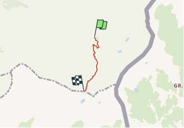

13.1 km | 23 km-effort


User


FREE GPS app for hiking
 SityTrail
IGN / Geographical institutes
SityTrail World
The world is yours!
Trail Walking of 2.3 km to be discovered at Provence-Alpes-Côte d'Azur, Hautes-Alpes, Saint-Véran. This trail is proposed by astro45.
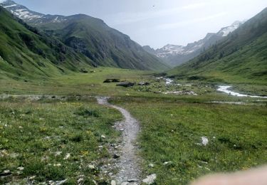
Montée au col de la Noire depuis le refuge de la Blanche.
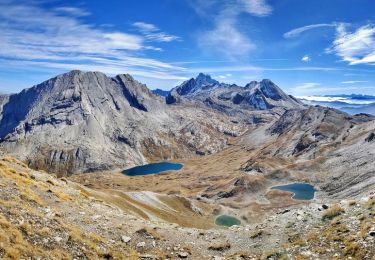
Belle vue sur le lac de la Noire.
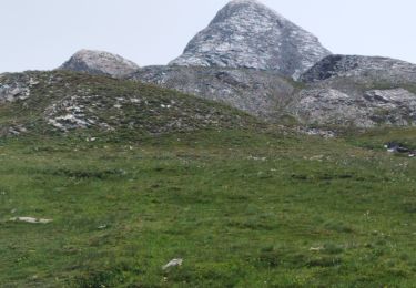
Possibilité de monter au Pic de la Farneiréta.


Walking
Walking

Walking

Walking

Walking

Walking
Walking
Walking

Walking