


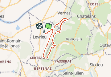

9.8 km | 13.1 km-effort


User


FREE GPS app for hiking
 SityTrail
IGN / Geographical institutes
SityTrail World
The world is yours!
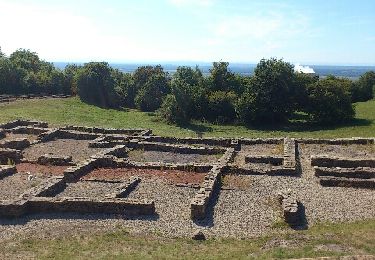
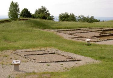
Trail On foot of 11.8 km to be discovered at Auvergne-Rhône-Alpes, Isère, Leyrieu. This trail is proposed by Christophe Ontavilla.
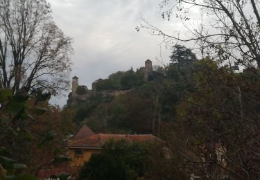
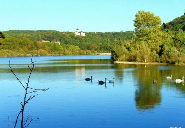
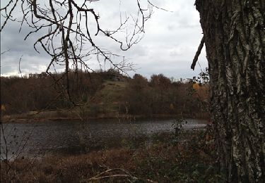
départ du village avec de jolie maison de pierre et après une montée en sous bois vous dominerez la plaine de l'est lyonnais

Walking

On foot
Mountain bike
Mountain bike

Walking
Running
Walking
Mountain bike
Walking