


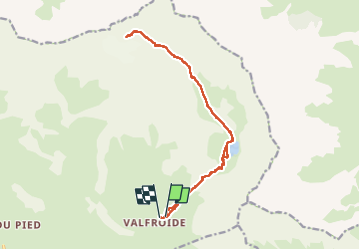

6 km | 9.4 km-effort

User


FREE GPS app for hiking
 SityTrail
IGN / Geographical institutes
SityTrail World
The world is yours!
Trail Walking of 17.1 km to be discovered at Provence-Alpes-Côte d'Azur, Hautes-Alpes, La Grave. This trail is proposed by PatDev.
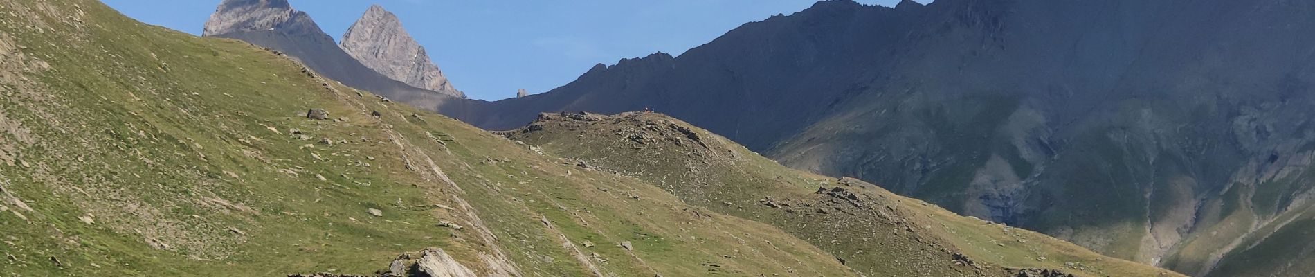
Traversée de torrent compliqué et long névé pour arriver au pied du glacier. Des cramprons sont utiles et même indispensable pour aller plus loin.
Grêle et orage pour redescendre.


Walking

Walking

Walking

Walking

Walking

On foot

Walking

Walking

Walking