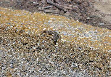
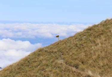
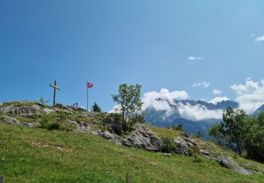
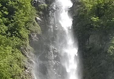
Trail Other activity Massongex - HL va de Vérossaz à Mex VS - Photo

HL va de Vérossaz à Mex VS

 heinzwei
heinzwei

User

© OpenStreetMap contributors
Length
Length
7.1 km
Max alt
Max alt
1249 m
Uphill gradient
Uphill gradient
587 m
Km-Effort
Km-Effort  
13.7 km
Min alt
Min alt
725 m
Downhill gradient
Downhill gradient
196 m
Boucle
Boucle
No
Creation date :
2014-12-11 00:00:00.0
Updated on :
2014-12-11 00:00:00.0

(0 Reviews)

Other activity
Other activity
--
Difficulty : Unknown

Scan this QR Code to open this trail in the SityTrail application

FREE GPS app for hiking

Logo SityTrail SityTrail

IGN / Geographical institutes

Download SityTrail from the App Store Download SityTrail from Google Play

Logo SityTrail SityTrail World

The world is yours!

Download SityTrail from the App Store Download SityTrail from Google Play Download SityTrail on Huawei AppGallery

About

Trail Other activity of 7.1 km to be discovered at Valais/Wallis, Saint-Maurice, Massongex. This trail is proposed by heinzwei.

Description

Une belle balade qui vous mène par les hauts jusqu''au lac des Chavonnes ou le restaurant vous acceuil avec une belle terrasse.
Depuis le restaurant on remonte un peu dans les pâturages avant de faire une descente assez raide sur la Forclaz qui est à éviter avec des petits enfants.
La dernière partie et toujours en descente mais très agréable.
Une sympatique terrasse vous attent à l''arrivée.

Elevation profile

Positioning

Country:
Switzerland
Region :
Valais/Wallis
Department/Province :
Saint-Maurice
Municipality :
Massongex
Location:
Unknown
Start:(UTM)
344289 ; 5121041 (32T) N.

Trails nearby

Trail On foot Evionnaz - Chemin pédestre, région Martigny - Photo
On foot
GUIDE+

On foot

Easy
Evionnaz, Valais/Wallis, Saint-Maurice, Switzerland
14.3 km | 17.1 km-effort
3h 52min
No
Trail Walking Val-d'Illiez - Dents de Midi, Lac de Soi - Photo
Walking
rpf

Walking

Very easy
(1)
Val-d'Illiez, Valais/Wallis, Monthey, Switzerland
5.1 km | 9.8 km-effort
2h 30min
Yes
Trail On foot Saint-Maurice - Tour des Dents du Midi - Photo
On foot
GUIDE+

On foot

Very difficult
Saint-Maurice, Valais/Wallis, Saint-Maurice, Switzerland
46 km | 88 km-effort
19h 58min
Yes
Trail Walking Saint-Maurice - Tour des dents du midi - Photo
Walking
GhiJoe

Walking

Medium
Saint-Maurice, Valais/Wallis, Saint-Maurice, Switzerland
59 km | 107 km-effort
23h 39min
Yes
Trail Mountain bike Saint-Maurice - Bike32922 - Photo
Mountain bike
GUIDE+

Mountain bike

Very easy
Saint-Maurice, Valais/Wallis, Saint-Maurice, Switzerland
26 km | 41 km-effort
Unknown
Yes
Trail Walking Saint-Maurice - Abenteuer-Trek in ein unbekanntes Wallis. Mex - Salanfe (Hotel) - Photo
Walking
GUIDE+

Walking

Very easy
Saint-Maurice, Valais/Wallis, Saint-Maurice, Switzerland
9.4 km | 23 km-effort
Unknown
No
Trail Walking Vérossaz - huetten_03 - Photo
Walking
GUIDE+

Walking

Very easy
Vérossaz, Valais/Wallis, Saint-Maurice, Switzerland
46 km | 87 km-effort
14h 46min
Yes
Trail Walking Lavey-Morcles - Circuit Lavey-Les-Bains 05.2016 - Photo
Walking
duamerg

Walking

Medium
Lavey-Morcles, Vaud, District d'Aigle, Switzerland
10.6 km | 13.1 km-effort
3h 6min
Yes
Trail Walking Lavey-Morcles - Morcles, La Tourche, Rionda - Photo
Walking
jipi2

Walking

Medium
Lavey-Morcles, Vaud, District d'Aigle, Switzerland
11.2 km | 25 km-effort
5h 3min
Yes


Close
My subscriptions