


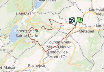


25 km | 35 km-effort


User


FREE GPS app for hiking
 SityTrail
IGN / Geographical institutes
SityTrail World
The world is yours!
Trail Walking of 13.1 km to be discovered at Bourgogne-Franche-Comté, Doubs, Saint-Antoine. This trail is proposed by geelcaus.
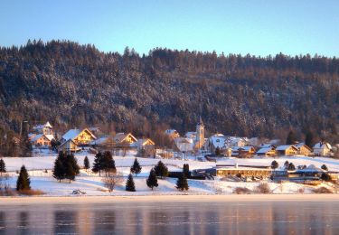
Petite boucle avec arrêt au restaurant L'aberge à Labergement-Sainte-Marie.
Petite grimpette plus difficile sur le bord du Doubs.

Walking

Walking

Walking
On foot

On foot

Snowshoes

Nordic walking

Cross-country skiing
Walking