


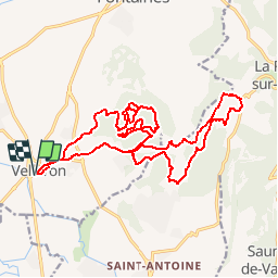

24 km | 25 km-effort


User


FREE GPS app for hiking
 SityTrail
IGN / Geographical institutes
SityTrail World
The world is yours!
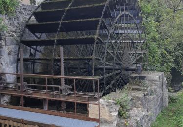
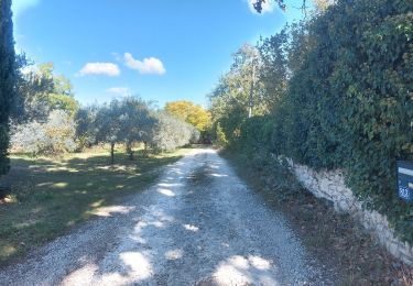
Trail Mountain bike of 23 km to be discovered at Provence-Alpes-Côte d'Azur, Vaucluse, Velleron. This trail is proposed by slivoide.
Monter zizgue pied gros, passage jusqu ravin du croc remonter jusqu'aux gipières pour descendre par anc platrieres et decharge termine par chemin de la pourraque pour rejoindre canal et retour...
Cycle
Hybrid bike

Walking

Cycle
Walking
Walking
Walking
Walking
Walking