


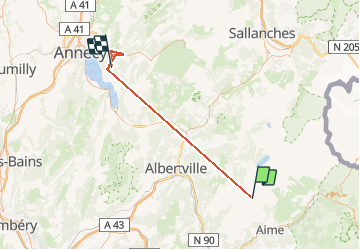

13.6 km | 26 km-effort

User


FREE GPS app for hiking
 SityTrail
IGN / Geographical institutes
SityTrail World
The world is yours!
Trail Walking of 55 km to be discovered at Auvergne-Rhône-Alpes, Savoy, Aime-la-Plagne. This trail is proposed by François COLLIEUX.
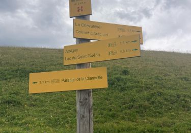
Je suis parti à contre sens et finalement... Ce ne fut pas plus mal jolie balade dans la fraîcheur des sous bois avec à la sortie baignade sur le port qui fut une suite de bonnes idées...


Walking

Walking

Touring skiing

Walking

Walking

Snowshoes

Walking

Walking
Walking