


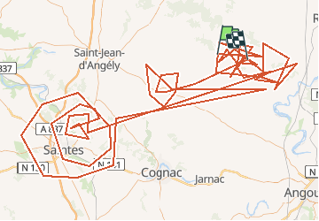


62 km | 68 km-effort


User


FREE GPS app for hiking
 SityTrail
IGN / Geographical institutes
SityTrail World
The world is yours!
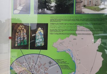
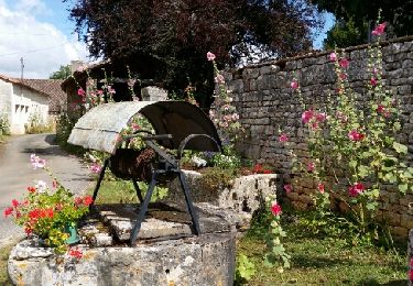
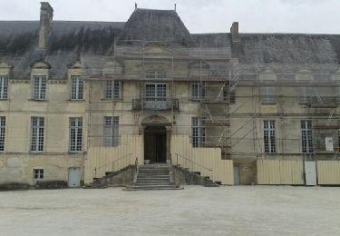
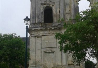
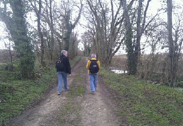
Trail On foot of 474 km to be discovered at New Aquitaine, Charente-Maritime, Fontaine-Chalendray. This trail is proposed by vindju.
Mountain bike
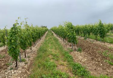
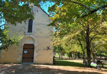
Walking
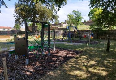
Walking
Walking

Walking
Walking
Walking
Walking
Walking