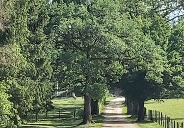
18.9 km | 24 km-effort
Route sapin LEVIER SUD
RAY25
User
Length
25 km
Max alt
858 m
Uphill gradient
491 m
Km-Effort
32 km
Min alt
607 m
Downhill gradient
491 m
Boucle
Yes
Creation date :
2020-08-06 18:53:21.956
Updated on :
2020-08-06 18:55:04.499
--
Difficulty : Medium
FREE GPS app for hiking
About
Trail Bicycle tourism of 25 km to be discovered at Bourgogne-Franche-Comté, Jura, Supt. This trail is proposed by RAY25.
Positioning
Country:
France
Region :
Bourgogne-Franche-Comté
Department/Province :
Jura
Municipality :
Supt
Location:
Unknown
Start:(Dec)
Start:(UTM)
271564 ; 5194068 (32T) N.
Comments
Trails nearby
Villers sous chalamont
Walking
Medium
Villers-sous-Chalamont,
Bourgogne-Franche-Comté,
Doubs,
France
3h 40min
Yes
Route des sapins Montorge
Walking
Medium
Villers-sous-Chalamont,
Bourgogne-Franche-Comté,
Doubs,
France
17.4 km | 22 km-effort
3h 43min
No
Chapois 24km 20161023
Walking
Very easy
Chapois,
Bourgogne-Franche-Comté,
Jura,
France
24 km | 32 km-effort
6h 44min
Yes
Lemuy - Les Grappes
Walking
Easy
Lemuy,
Bourgogne-Franche-Comté,
Jura,
France
8.9 km | 10.9 km-effort
2h 20min
Yes
villers sous chalamont
Walking
Very difficult
Villers-sous-Chalamont,
Bourgogne-Franche-Comté,
Doubs,
France
16.4 km | 20 km-effort
5h 37min
No
foret de lajoux
Walking
Easy
Lemuy,
Bourgogne-Franche-Comté,
Jura,
France
9.5 km | 12.3 km-effort
2h 29min
Yes
depart chapois...les nans
Walking
Very difficult
Chapois,
Bourgogne-Franche-Comté,
Jura,
France
22 km | 31 km-effort
6h 35min
Yes
forêt de la Joux
Walking
Medium
Supt,
Bourgogne-Franche-Comté,
Jura,
France
7.1 km | 10.4 km-effort
2h 10min
Yes