


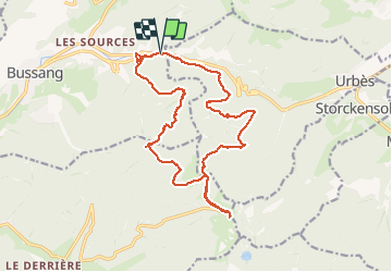


15 km | 24 km-effort

User


FREE GPS app for hiking
 SityTrail
IGN / Geographical institutes
SityTrail World
The world is yours!
Trail Walking of 18.3 km to be discovered at Grand Est, Vosges, Bussang. This trail is proposed by Richard68500.
Le col de Bussang est l'un des cols les plus fréquentés du massif des Vosges.
Situé dans la région Grand Est à 727 m d'altitude, il relie la Lorraine et l'Alsace par la route nationale 66.
Direction le " Rouge Gazon" ( 1090 m)
repas au "restaurant " le Rouge Gazon"
Jouxtant des remontées mécaniques dans le massif des Vosges, ce chalet de montagne à l'atmosphère conviviale se trouve à 1 km du lac des Perches.
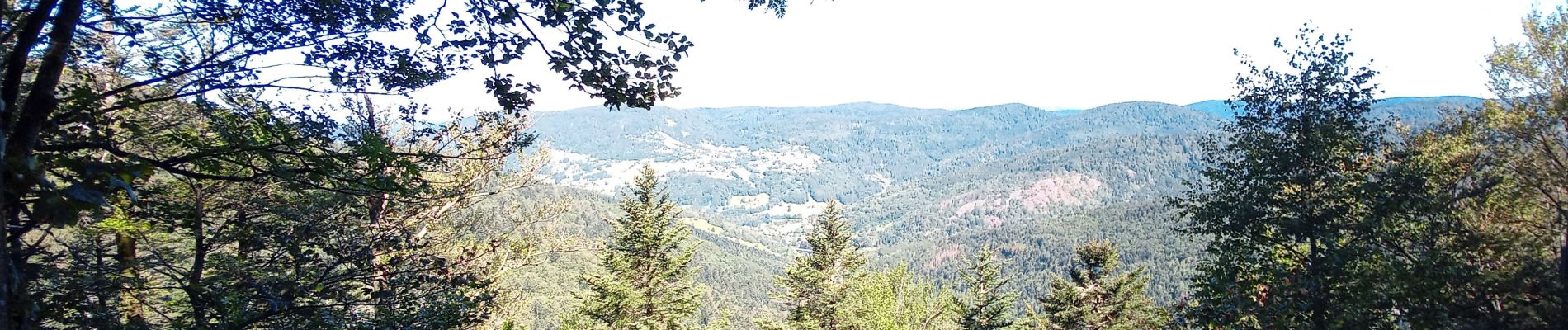
 - Photo 1")
 - Photo 2")

Walking

Snowshoes

Walking

Walking

Mountain bike

Walking

Walking

On foot

On foot