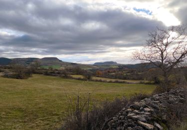
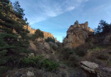
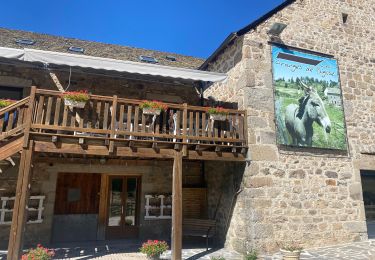
les4 chemins quad SityTrail > Trails > Outdoor > France > Occitania > Lozère > Marvejols SityTrail > Trails > Outdoor > France > Occitania > Lozère > Marvejols les4 chemins quad pignol User 3D © OpenStreetMap contributors Length 51 km Max alt 1223 m Uphill gradient 1265 m Km-Effort 68 km Min alt 638 m Downhill gradient 1265 m Boucle Yes Creation date : 2020-08-03 13:44:31.034 Updated on : 2020-08-04 16:03:28.279 (0 Reviews) Quad 1h49 Difficulty : Easy FREE GPS app for hiking SityTrail IGN / Geographical institutes SityTrail World The world is yours! About Trail Quad of 51 km to be discovered at Occitania, Lozère, Marvejols. This trail is proposed by pignol. Legends | More details (PDF) Elevation profile Legends > 15% 15% - 10% 10% - 5% flat 5% - 10% 10% - 15% 15% - 30% > 30% Positioning Country: France Region : Occitania Department/Province : Lozère Municipality : Marvejols Location: Unknown Start:(Dec) 44.54734402 / 3.27896665 Start:(UTM) 522159 ; 4932706 (31T) N. Comments Please log in to post a review or rate the element Trails nearby Jérôme Pignol rando trail 640 pont de monvert Motorbike Medium (1) Marvejols, Occitania, Lozère, France 202 km | 274 km-effort 6h 15min Yes tyntyn Marvejols/Valadou Walking Easy Marvejols, Occitania, Lozère, France 10.4 km | 14.1 km-effort 3h 10min Yes Biquette73 Truc de st bonnet sport Very easy Marvejols, Occitania, Lozère, France 14.4 km | 20 km-effort Unknown No tyntyn Prades montagne fendu Walking Medium Palhers, Occitania, Lozère, France 6.1 km | 9.7 km-effort 1h 59min No jl77130 Fait GTMC 2022 E11 Bigose Mountain bike Medium Marvejols, Occitania, Lozère, France 55 km | 71 km-effort 7h 22min No bymarc26 Urbain V 3 Walking Medium Palhers, Occitania, Lozère, France 17.9 km | 27 km-effort 4h 45min No bymarc26 Urbain V 2 Walking Medium Palhers, Occitania, Lozère, France 30 km | 41 km-effort 5h 15min No couchetounu test Other activity Very easy Marvejols, Occitania, Lozère, France 10 km | 13.3 km-effort 27min No boubou68 Pratbinals à Volmaniêres 17/06/2024 Walking Difficult Bourgs sur Colagne, Occitania, Lozère, France 4.5 km | 6.8 km-effort 28min No