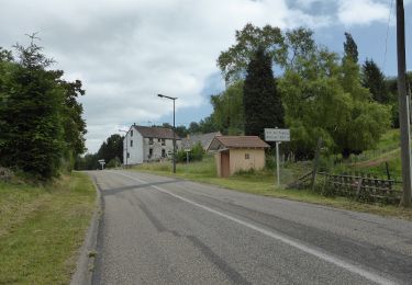
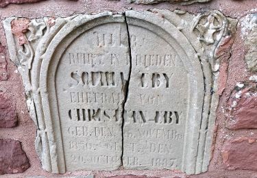
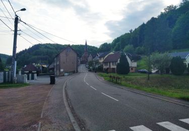
13.1 km | 17.5 km-effort
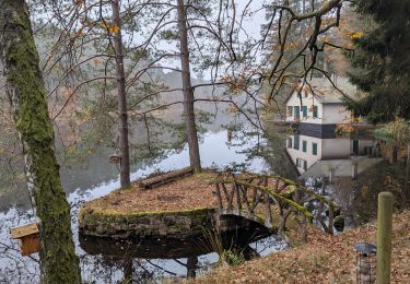
2020-08-02 Le circuit des Verriers (avec les enfants)
milou1941
User
Length
6.2 km
Max alt
439 m
Uphill gradient
184 m
Km-Effort
8.7 km
Min alt
287 m
Downhill gradient
184 m
Boucle
Yes
Creation date :
2020-08-02 10:08:00.0
Updated on :
2020-09-02 18:17:56.11
3h08
Difficulty : Very easy
FREE GPS app for hiking
About
Trail Walking of 6.2 km to be discovered at Grand Est, Moselle, Meisenthal. This trail is proposed by milou1941.
Positioning
Country:
France
Region :
Grand Est
Department/Province :
Moselle
Municipality :
Meisenthal
Location:
Unknown
Start:(Dec)
Start:(UTM)
379437 ; 5425034 (32U) N.
Comments
Trails nearby
Saint-Louis-Lès-Bitche et le pays du verre et du cristal
Walking
Medium
(2)
Saint-Louis-lès-Bitche,
Grand Est,
Moselle,
France
3h 19min
Yes
suuntoapp-HorsebackRiding-2024-11-11T08-51-25Z
Horseback riding
Very easy
Lemberg,
Grand Est,
Moselle,
France
28 km | 36 km-effort
4h 46min
Yes
suuntoapp-HorsebackRiding-2024-11-10T08-15-44Z
Horseback riding
Very easy
Soucht,
Grand Est,
Moselle,
France
26 km | 34 km-effort
4h 27min
Yes
suuntoapp-HorsebackRiding-2024-11-09T08-23-34Z
Horseback riding
Very easy
Soucht,
Grand Est,
Moselle,
France
28 km | 37 km-effort
4h 53min
Yes
Wayside crosses tour No. 4
On foot
Easy
Montbronn,
Grand Est,
Moselle,
France
4.9 km | 6.2 km-effort
1h 24min
No
Losange vert
On foot
Easy
Volksberg,
Grand Est,
Bas-Rhin,
France
9.1 km | 12.3 km-effort
2h 48min
Yes
Following in the footsteps of the Glass and Clog makers - Tour 2
On foot
Easy
Meisenthal,
Grand Est,
Moselle,
France
12.2 km | 16.7 km-effort
3h 47min
Yes
Mooncatchers permanent trail - 20 km
On foot
Easy
Meisenthal,
Grand Est,
Moselle,
France
8.8 km | 11.7 km-effort
2h 39min
No