


11.1 km | 16.4 km-effort


User


FREE GPS app for hiking
 SityTrail
IGN / Geographical institutes
SityTrail World
The world is yours!
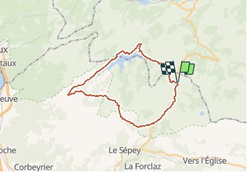
Trail Other activity of 26 km to be discovered at Vaud, District d'Aigle, Ormont-Dessous. This trail is proposed by steve.
Belle randonnée aux Col des Mosses en passant par le lac de l''Hongrin, une base militaire et La Pierre du Moëllé.
Avant de partir, se renseigner à l''office du tourisme pour éviter les périodes d''exercice de l''armée (024)491.14.66
Départ devant l''office du toursime des Mosses direction La Lecherette à travers champs. Arrivé à la caserne militaire, descendre jusqu''au lac de l''Hongrin par la route goudronnée et suivre direction le barrage. Barrage en double voute. Passé celui-ci, il faut empreinter les chemins de montagne directe à gauche de la deuxième voute et suivre le petit sentier en hamont. Attention, celui-ci très glissants. Arrivé à Ayerne, où une base militaire y est implantée, poursuivre jusqu''à la métairie Joux Noires et de là, monter au refuge de les Forclettes. Observez bien, les sentiers ne sont pas tracer. Encore un petit effort et nous voilà à 1850m pour admirer un panorama imprenable sur Lésin, les Diablerets ainsi que le Mont Blanc. De là, redescendre sur la dite Pierre du Moëllé; qui à mon avis doit cacher un bunker. Un refuge et resaurant se trouve à votre disposition pour reprenrdre des forces. Terminer la marche jusqu''au Col des Mosses soit par les sentiers pédestres ou par les chemins de montagne.
Randonnée endurente. Prévoir de bonnes chaussures de marche, impérméable en cas d''imtempérie. Il est également important de se munir d''un GPS pour retrouver son chemin où ils sont quasiement innéxistants.

Walking
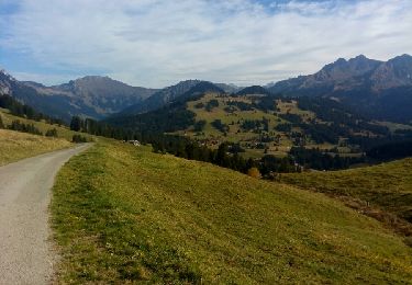
Walking
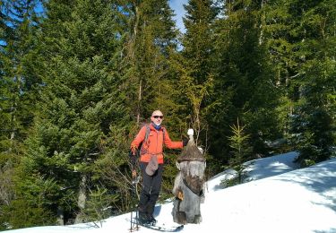
Touring skiing

Walking
Walking
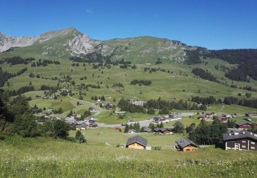
Walking

Winter sports
Walking
Walking