


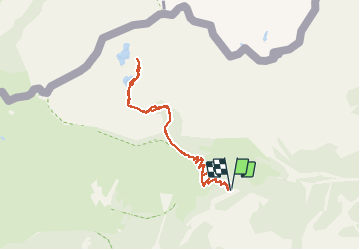

11.6 km | 19.6 km-effort


User


FREE GPS app for hiking
 SityTrail
IGN / Geographical institutes
SityTrail World
The world is yours!
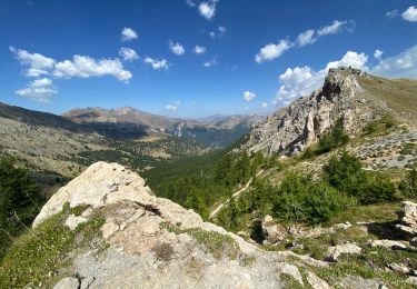
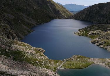
Trail Walking of 8 km to be discovered at Provence-Alpes-Côte d'Azur, Maritime Alps, Tende. This trail is proposed by bozo1970.
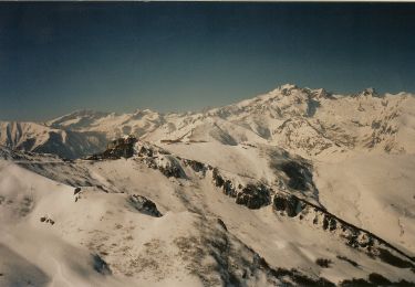
Randonnée peu intéressante sur la fin du parcours, les lacs sont peu accessibles.
Les sommets environnant présentent plus d’intérêt.

Walking

On foot

Walking

Walking

Walking
Walking
Walking
Walking