


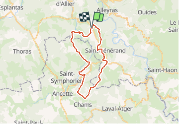

17.4 km | 24 km-effort


User


FREE GPS app for hiking
 SityTrail
IGN / Geographical institutes
SityTrail World
The world is yours!
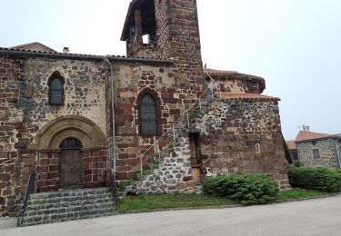
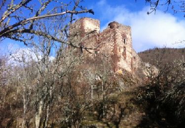
Trail Mountain bike of 27 km to be discovered at Auvergne-Rhône-Alpes, Haute-Loire, Alleyras. This trail is proposed by jm.lemore.
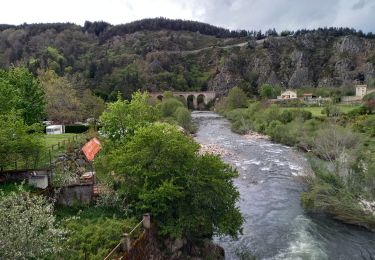
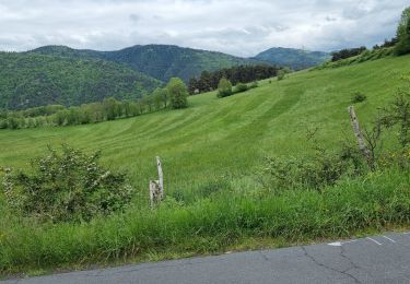
parcours très joli et roulant.
Pas de grosses difficultés techniques.
quelques descentes très sympa.
un très beau parcours.
le temps est indiqué en VTTAE
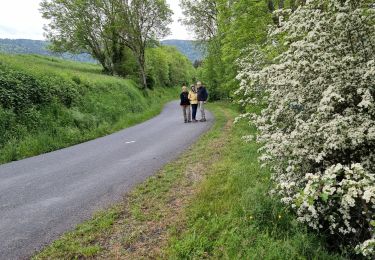
Walking
Walking
Walking
Walking

On foot
Mountain bike

Walking

Mountain bike
Walking