


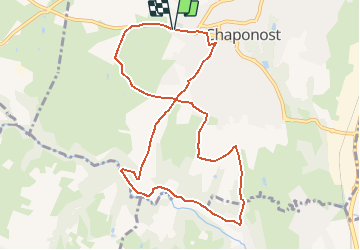


10.3 km | 13.1 km-effort


User


FREE GPS app for hiking
 SityTrail
IGN / Geographical institutes
SityTrail World
The world is yours!
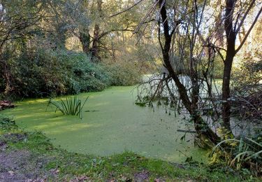
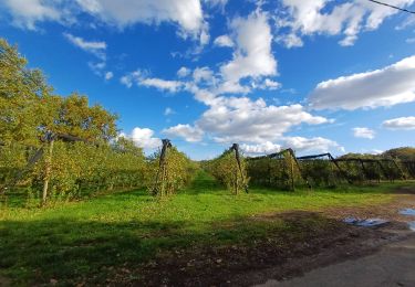
Trail Walking of 10 km to be discovered at Auvergne-Rhône-Alpes, Rhône, Chaponost. This trail is proposed by galain.
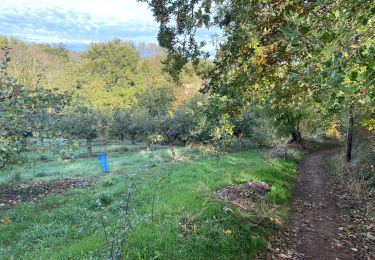
Très belle balade de Chaponost au Garon.
On se gare facilement sur le parking du cimetière de Chaponost.
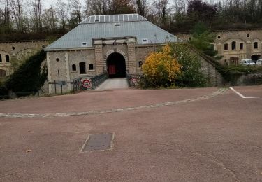
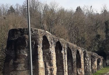
Après une petite traversée de la commune, la balade permet de contempler diverses vestiges romain des aqueducs.

Walking
Walking

Mountain bike
Mountain bike
Walking
Walking

Walking
Walking

Walking