


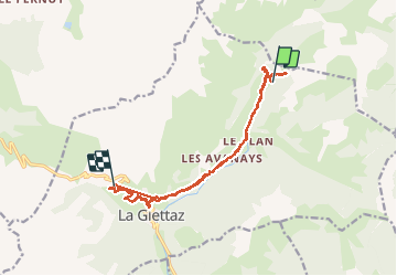

11.9 km | 19.7 km-effort

User


FREE GPS app for hiking
 SityTrail
IGN / Geographical institutes
SityTrail World
The world is yours!
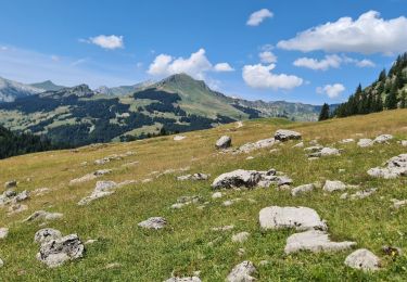
Trail Walking of 24 km to be discovered at Auvergne-Rhône-Alpes, Savoy, La Giettaz. This trail is proposed by biollay.
recherche de points d'eau.


Walking

Walking

Walking

Walking

Other activity
Walking

Walking
Snowshoes
Walking