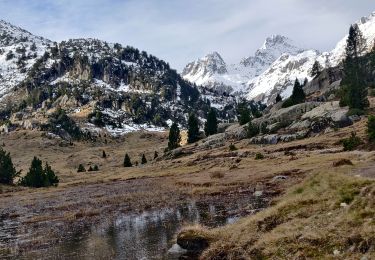
11.4 km | 17.5 km-effort
Bifurcation - descente vers la Raillere
ETMU5496
User
Length
36 km
Max alt
3014 m
Uphill gradient
2444 m
Km-Effort
68 km
Min alt
1037 m
Downhill gradient
2445 m
Boucle
Yes
Creation date :
2020-07-30 15:24:42.237
Updated on :
2020-07-30 15:37:24.77
--
Difficulty : Very difficult
FREE GPS app for hiking
About
Trail On foot of 36 km to be discovered at Occitania, Hautespyrenees, Cauterets. This trail is proposed by ETMU5496.
Description
Nécessite de le faire en deux jours avec nuitée au refuge des Oulettes ou de Baysellance plus médian.
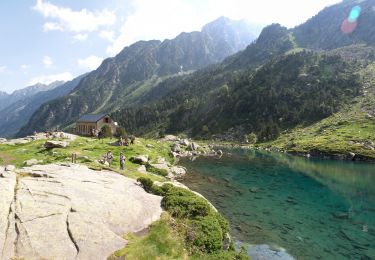
Points of interest
Positioning
Country:
France
Region :
Occitania
Department/Province :
Hautespyrenees
Municipality :
Cauterets
Location:
Unknown
Start:(Dec)
Start:(UTM)
736108 ; 4750795 (30T) N.
Comments
Trails nearby
contrefort de Cauterets
Walking
Medium
(1)
Cauterets,
Occitania,
Hautespyrenees,
France
13.7 km | 21 km-effort
4h 21min
Yes
PIC DE VISCOS
Walking
Medium
(1)
Grust,
Occitania,
Hautespyrenees,
France
10.5 km | 18.4 km-effort
4h 7min
Yes
Le Cabaliros
Walking
Difficult
(1)
Cauterets,
Occitania,
Hautespyrenees,
France
14.5 km | 29 km-effort
5h 0min
Yes
promenade Russell
Walking
Very easy
(1)
Cauterets,
Occitania,
Hautespyrenees,
France
11.9 km | 21 km-effort
5h 46min
Yes
Chemin des cascades
Walking
Easy
(1)
Cauterets,
Occitania,
Hautespyrenees,
France
8 km | 12.6 km-effort
2h 30min
No
2022-12-31 Marche Refuge du Clot vers Refuge Wallon
Walking
Difficult
Cauterets,
Occitania,
Hautespyrenees,
France
17.3 km | 34 km-effort
7h 46min
No
CAUTERETS Le chemin des pères G3 le 14/10/2022 "3423761"
Walking
Medium
Cauterets,
Occitania,
Hautespyrenees,
France
9.4 km | 15.3 km-effort
3h 5min
Yes
Pic d'Estibe Aute
Walking
Very difficult
(1)
Cauterets,
Occitania,
Hautespyrenees,
France
17.2 km | 36 km-effort
7h 0min
Yes