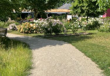
22 km | 29 km-effort
Longwy Hussigny AR
patdecosnes
User
Length
23 km
Max alt
363 m
Uphill gradient
230 m
Km-Effort
26 km
Min alt
253 m
Downhill gradient
230 m
Boucle
Yes
Creation date :
2020-07-30 07:31:31.43
Updated on :
2020-07-30 10:06:26.932
1h51
Difficulty : Very easy
FREE GPS app for hiking
About
Trail Mountain bike of 23 km to be discovered at Grand Est, Meurthe-et-Moselle, Longwy. This trail is proposed by patdecosnes.
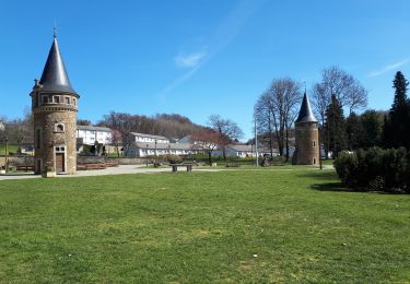
Positioning
Country:
France
Region :
Grand Est
Department/Province :
Meurthe-et-Moselle
Municipality :
Longwy
Location:
Unknown
Start:(Dec)
Start:(UTM)
700625 ; 5488111 (31U) N.
Comments
Trails nearby
GG2-Lu-33_Halanzy-Messancy (2021-11-04)
Walking
Very difficult
Aubange,
Wallonia,
Luxembourg,
Belgium
6h 31min
No
HALANZY Sentier des Mines de Fer
Walking
Medium
(1)
Aubange,
Wallonia,
Luxembourg,
Belgium
8.3 km | 10.9 km-effort
2h 22min
Yes
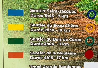
Sentier du Beau Chêne
On foot
Easy
Haucourt-Moulaine,
Grand Est,
Meurthe-et-Moselle,
France
10.8 km | 13.7 km-effort
3h 6min
Yes
GG2-Lg-30_Méry-Nessonvaux (2021-11-23)
Walking
Very difficult
Aubange,
Wallonia,
Luxembourg,
Belgium
23 km | 30 km-effort
6h 43min
No
vauban - longwy-haut ... booooooh
Walking
Very easy
Longwy,
Grand Est,
Meurthe-et-Moselle,
France
2.4 km | 2.8 km-effort
58min
Yes
longwy ? long nooooon !
Walking
Very easy
Longwy,
Grand Est,
Meurthe-et-Moselle,
France
869 m | 992 m-effort
16min
Yes
Lasauvage 19-06-2023
Walking
Medium
Differdange,
Unknown,
Canton Esch-sur-Alzette,
Luxembourg
9.4 km | 10.9 km-effort
2h 23min
Yes
Halanzy et ses sentiers gaumais
On foot
Easy
Aubange,
Wallonia,
Luxembourg,
Belgium
4.2 km | 4.7 km-effort
1h 3min
Yes
Moulaine Selomont 7km cercle bleu
Walking
Medium
Hussigny-Godbrange,
Grand Est,
Meurthe-et-Moselle,
France
8.1 km | 10.4 km-effort
1h 57min
Yes