


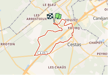

10.6 km | 11.7 km-effort


User


FREE GPS app for hiking
 SityTrail
IGN / Geographical institutes
SityTrail World
The world is yours!
Trail Walking of 14.4 km to be discovered at New Aquitaine, Gironde, Cestas. This trail is proposed by BIBAR.
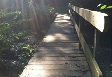
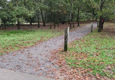
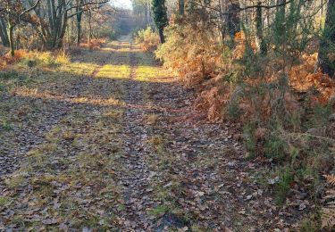
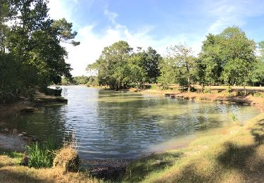
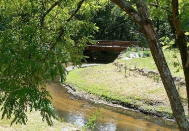
Lisière entre ville et bois. Beaux parcours dans les bois mais zones pénibles de goudron. Attention aussi aux pistes de VTT, étroites et sinueuses : vaut mieux pas s'y trouver face à une bande de vélos.
Walking
Walking

Walking
Nordic walking
Nordic walking
Walking
Walking
Walking
Walking