


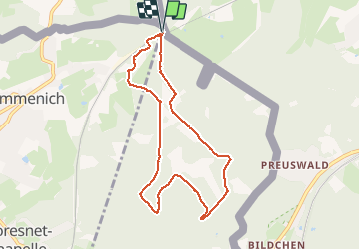


9.6 km | 12.1 km-effort

User GUIDE


FREE GPS app for hiking
 SityTrail
IGN / Geographical institutes
SityTrail World
The world is yours!
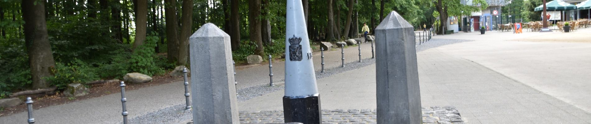
Trail Walking of 7.3 km to be discovered at Wallonia, Liège, Kelmis. This trail is proposed by pierreh01.
Très jolie balade, entièrement sur le territoire belge, presque exclusivement en forêt et sur sentier.
Dénivelés respectables à gravir à son rythme.
Finale digne de sentiers montagnards.
Par temps de pluie, sentiers plus dangereux.


28 photos in total. Please click on a photo to see them all in the gallery.

Walking

Walking

Walking

Walking


Walking

Walking

Walking

Walking