


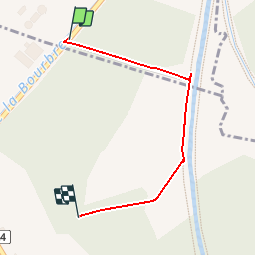


13.1 km | 16.1 km-effort


User


FREE GPS app for hiking
 SityTrail
IGN / Geographical institutes
SityTrail World
The world is yours!
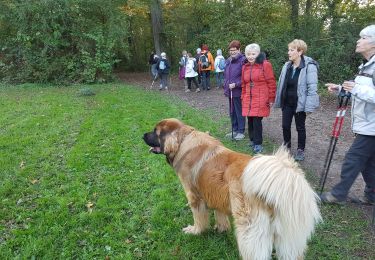
Trail Other activity of 1.2 km to be discovered at Auvergne-Rhône-Alpes, Isère, Satolas-et-Bonce. This trail is proposed by amelard.
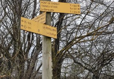
parking de la station d'epuration de la verpilliere cafpi
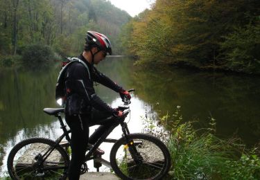
Mountain bike
Mountain bike

Mountain bike
Walking
Walking
Walking
Cycle
Mountain bike
Mountain bike