


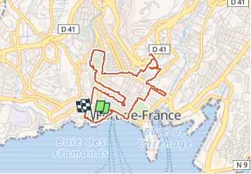


6.5 km | 9.6 km-effort

User GUIDE


FREE GPS app for hiking
 SityTrail
IGN / Geographical institutes
SityTrail World
The world is yours!
Trail Walking of 6.8 km to be discovered at Martinique, Unknown, Fort-de-France. This trail is proposed by Lamartiniere.
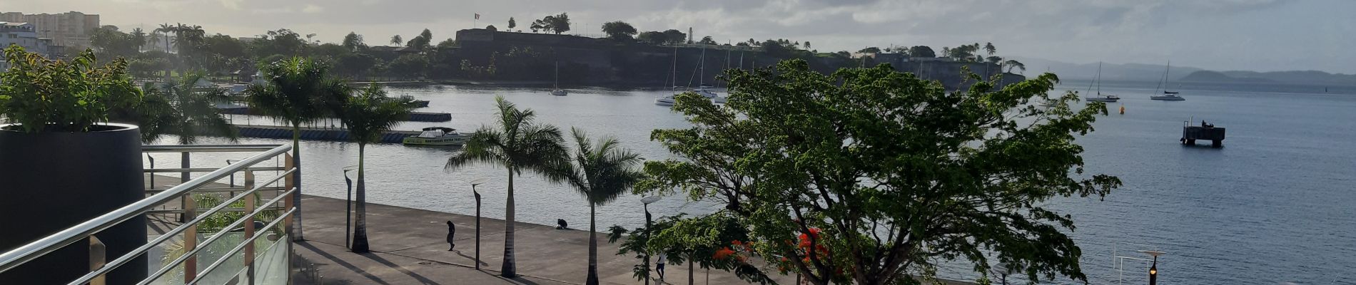
Bien avant le Covid, cette randonnée avec explications des secteurs, bâtiments, statues et autres... rencontrés, avait été envisagée pour Groupama. Je garde sous le coude au cas où.


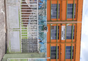
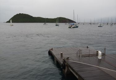
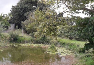
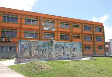
48 photos in total. Please click on a photo to see them all in the gallery.
Walking
Walking

Walking
Walking
Motorboat

Running
Walking
Walking

On foot
Promenade à éviter le dimanche car tous les magasins sont fermés. Très Bien