11.8 km | 15.4 km-effort
25/07/2020 13:36:01
cmike39
User
Length
72 km
Max alt
273 m
Uphill gradient
573 m
Km-Effort
80 km
Min alt
174 m
Downhill gradient
571 m
Boucle
Yes
Creation date :
2020-07-26 12:46:31.876
Updated on :
2020-07-26 12:49:12.496
4h44
Difficulty : Very difficult
FREE GPS app for hiking
About
Trail Road bike of 72 km to be discovered at Bourgogne-Franche-Comté, Jura, Authume. This trail is proposed by cmike39.
Description
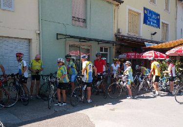
CircuitGroupe 3 Authume aller retour Chatenois
Positioning
Country:
France
Region :
Bourgogne-Franche-Comté
Department/Province :
Jura
Municipality :
Authume
Location:
Unknown
Start:(Dec)
Start:(UTM)
689525 ; 5222314 (31T) N.
Comments
Trails nearby
Mont Roland 11.7km 20161215
Walking
Very easy
(2)
Jouhe,
Bourgogne-Franche-Comté,
Jura,
France
3h 18min
Yes
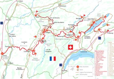
Via Cluny: de Dole (Jura) à Cluny
Walking
Very difficult
Dole,
Bourgogne-Franche-Comté,
Jura,
France
360 km | 478 km-effort
108h 38min
No
mn05
Road bike
Very difficult
Dole,
Bourgogne-Franche-Comté,
Jura,
France
58 km | 63 km-effort
7h 44min
No
Archelange Mont Roland 2021-02-02 CAF
Walking
Medium
Archelange,
Bourgogne-Franche-Comté,
Jura,
France
22 km | 28 km-effort
4h 23min
Yes
R-Chatenois-20kil
Walking
Difficult
(1)
Châtenois,
Bourgogne-Franche-Comté,
Jura,
France
20 km | 26 km-effort
5h 36min
Yes
Bletterans
Cycle
Difficult
Dole,
Bourgogne-Franche-Comté,
Jura,
France
125 km | 138 km-effort
6h 11min
Yes
Circuit Mont-Roland
Nordic walking
Difficult
Jouhe,
Bourgogne-Franche-Comté,
Jura,
France
11 km | 16.1 km-effort
2h 9min
Yes