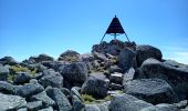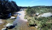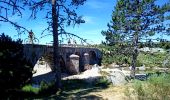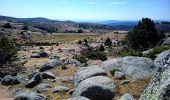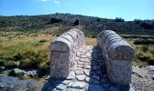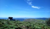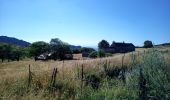

Mont Lozère : Mas de la Barque

Thierry Christophle
User

Length
33 km

Max alt
1678 m

Uphill gradient
720 m

Km-Effort
43 km

Min alt
1249 m

Downhill gradient
708 m
Boucle
Yes
Creation date :
2020-07-25 06:55:07.965
Updated on :
2020-07-25 14:30:12.723
7h08
Difficulty : Difficult

FREE GPS app for hiking
About
Trail Walking of 33 km to be discovered at Occitania, Lozère, Vialas. This trail is proposed by Thierry Christophle.
Description
belle randonnée sans difficulté technique,si ce n'est la distance 😎
Gourdouse, l'Aubaret, le Pont du Tarn, l'Hôpital, route forestière du Mont Lozère, pic Cassini
Positioning
Country:
France
Region :
Occitania
Department/Province :
Lozère
Municipality :
Vialas
Location:
Unknown
Start:(Dec)
Start:(UTM)
569777 ; 4915080 (31T) N.
Comments
Trails nearby
Pic Cassini


Walking
Medium
Pont de Montvert - Sud Mont Lozère,
Occitania,
Lozère,
France

11.2 km | 14.8 km-effort
5h 11min
Yes
Sources du Tarn


Walking
Medium
Pont de Montvert - Sud Mont Lozère,
Occitania,
Lozère,
France

18.2 km | 24 km-effort
5h 41min
Yes

2023-01-22_15h09m14_Cirkwi-La_Virado_del_Ronc


Walking
Difficult
(1)
Concoules,
Occitania,
Gard,
France

9.3 km | 15.6 km-effort
3h 32min
Yes
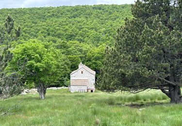
Promenade autour du Mas de La Barque


sport
Very easy
Vialas,
Occitania,
Lozère,
France

6.9 km | 8.6 km-effort
Unknown
Yes
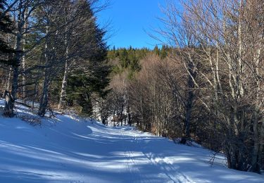
Le Pic Cassini


Walking
Difficult
Pont de Montvert - Sud Mont Lozère,
Occitania,
Lozère,
France

12.1 km | 15.7 km-effort
5h 30min
Yes
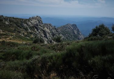
Randonnée Aller Retour Gourdouze - Trenze


Walking
Difficult
Vialas,
Occitania,
Lozère,
France

8.3 km | 13.7 km-effort
5h 12min
Yes
Mas de la barque source du Tarn


Walking
Very difficult
Vialas,
Occitania,
Lozère,
France

17.9 km | 23 km-effort
6h 24min
Yes
TOUR DU MONT LOZERE


Electric bike
Easy
Vialas,
Occitania,
Lozère,
France

33 km | 41 km-effort
3h 0min
Yes


 SityTrail


