


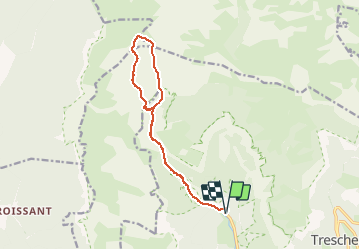


13 km | 28 km-effort

User


FREE GPS app for hiking
 SityTrail
IGN / Geographical institutes
SityTrail World
The world is yours!
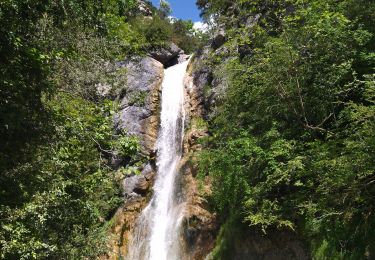
Trail Walking of 13.7 km to be discovered at Auvergne-Rhône-Alpes, Drôme, Châtillon-en-Diois. This trail is proposed by Philindy26.
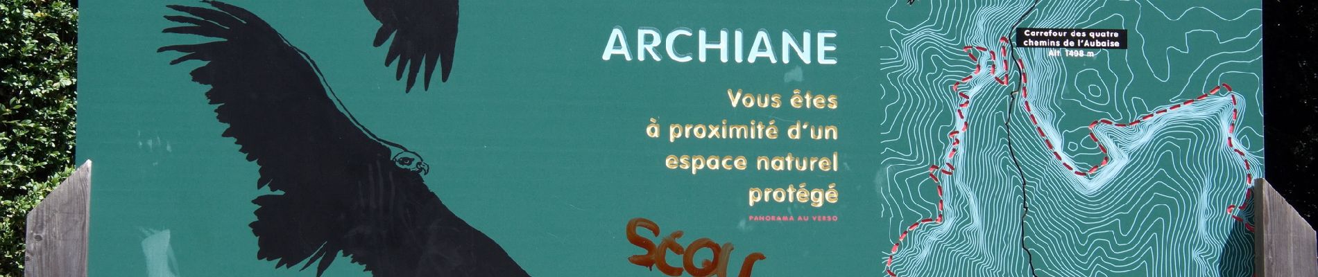
Départ du village d'Archiane...
Coordonnées de départ (Lien Google Maps) : https://goo.gl/maps/iZVLKmQZX3vNP9DT7 (44°44'43.8"N / 5°30'24.3"E ou 44.745499, 5.506746),
Montée par la Combe de l'Aubaise jusqu'au carrefour des quatre chemins de l'Aubaise (1408 m),
Prendre à gauche par le GR 93 jusqu'au carrefour des quatre chemins de la Ville (1574 m) en passant par la Plaine du Roi...
Descente par le sentier central pour rejoindre la Combe de l'Aubaise et retour sur le village d'Archiane.


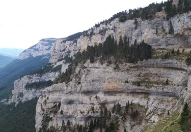
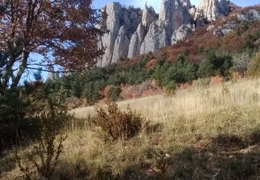
25 photos in total. Please click on a photo to see them all in the gallery.
Walking

Walking

Walking
Walking

Walking

Walking
Walking
Walking

Walking