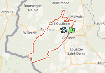

22 km | 28 km-effort

User


FREE GPS app for hiking
 SityTrail
IGN / Geographical institutes
SityTrail World
The world is yours!
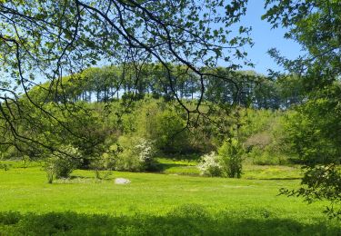
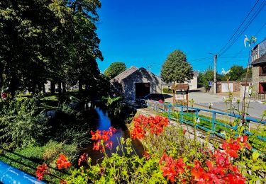
Trail Mountain bike of 32 km to be discovered at Wallonia, Namur, Gedinne. This trail is proposed by beautrix.
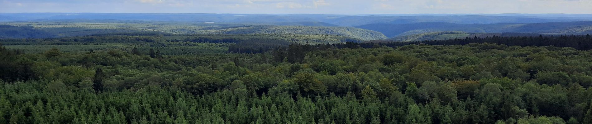
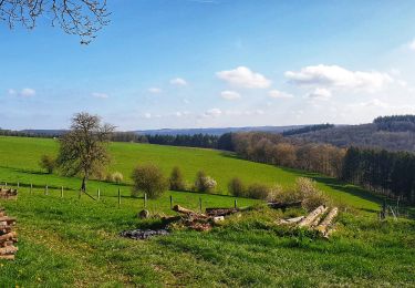
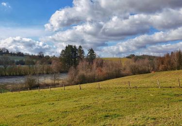
Un beau parcours forestier, pour atteindre la Croix scaille, point culminant de la province de Namur.
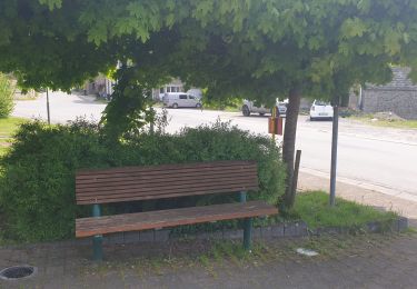
Chemins faciles, pas trop techniques... De longues et belles descentes.


Walking

Walking
Walking
Walking
Walking
Walking
Walking

On foot