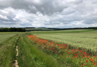
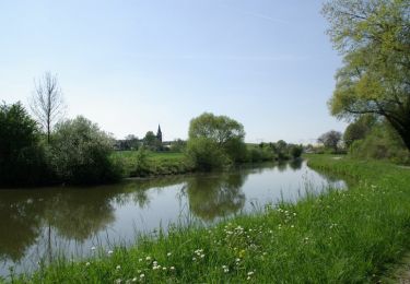
21 km | 24 km-effort
SityTrail - Amiens Hortillonnages
rvs147
User
Length
9.3 km
Max alt
49 m
Uphill gradient
68 m
Km-Effort
10.2 km
Min alt
20 m
Downhill gradient
67 m
Boucle
Yes
Creation date :
2020-07-24 13:07:31.286
Updated on :
2022-09-20 13:09:59.993
--
Difficulty : Very easy
FREE GPS app for hiking
About
Trail On foot of 9.3 km to be discovered at Hauts-de-France, Somme, Amiens. This trail is proposed by rvs147.
Positioning
Country:
France
Region :
Hauts-de-France
Department/Province :
Somme
Municipality :
Amiens
Location:
Unknown
Start:(Dec)
Start:(UTM)
450177 ; 5527822 (31U) N.
Comments
Trails nearby
2016 05 01
Walking
Difficult
(1)
Amiens,
Hauts-de-France,
Somme,
France
42 km | 46 km-effort
7h 25min
Yes
2013-05-04
Walking
Medium
(1)
Amiens,
Hauts-de-France,
Somme,
France
42 km | 47 km-effort
6h 45min
Yes
petite balade nocturne a Amiens
Walking
Easy
Amiens,
Hauts-de-France,
Somme,
France
5 km | 5.6 km-effort
1h 23min
Yes
amiens camon amiens par les hortillonnages
Walking
Very easy
Amiens,
Hauts-de-France,
Somme,
France
8.4 km | 9.2 km-effort
2h 12min
Yes
Amiens Gouy les groseilliers
Electric bike
Difficult
Amiens,
Hauts-de-France,
Somme,
France
48 km | 0 m-effort
3h 2min
No
Circuit Sainte-Aragone - Amiens
Walking
Medium
Amiens,
Hauts-de-France,
Somme,
France
12.1 km | 13.1 km-effort
3h 0min
Yes
La Vallée de la Hayette - Allonville
Walking
Easy
Allonville,
Hauts-de-France,
Somme,
France
6.1 km | 6.7 km-effort
1h 30min
Yes