


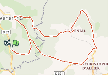

15.9 km | 23 km-effort


User


FREE GPS app for hiking
 SityTrail
IGN / Geographical institutes
SityTrail World
The world is yours!
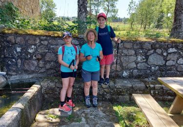
Trail Walking of 7.5 km to be discovered at Auvergne-Rhône-Alpes, Haute-Loire, Saint-Vénérand. This trail is proposed by VincentChevalier.
Très jolie ballade traversant trois petits villages.Belle vue sur la haute vallée de l'Allier et le plateau du Devez.
Nordic walking
Walking
Walking

On foot
Walking

Walking

Mountain bike
Walking
Walking