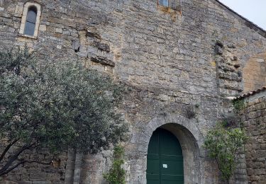
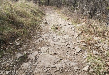
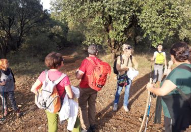
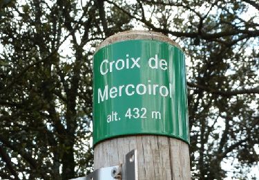
Trail Walking Saint-Julien-les-Rosiers - 30 - SAINT JULIEN LES ROSIERS - Randonnée Panoramique - 13.40 Km - 04h30 - D 350 m - Photo

30 - SAINT JULIEN LES ROSIERS - Randonnée Panoramique - 13.40 Km - 04h30 - D 350 m

© OpenStreetMap contributors
Length
Length
13.4 km
Max alt
Max alt
425 m
Uphill gradient
Uphill gradient
331 m
Km-Effort
Km-Effort  
17.8 km
Min alt
Min alt
176 m
Downhill gradient
Downhill gradient
331 m
Boucle
Boucle
Yes
Creation date :
2014-12-10 00:00:00.0
Updated on :
2014-12-10 00:00:00.0

(1 Reviews)

Walking
Walking
3h50
Difficulty : Difficult

Scan this QR Code to open this trail in the SityTrail application

FREE GPS app for hiking

Logo SityTrail SityTrail

IGN / Geographical institutes

Download SityTrail from the App Store Download SityTrail from Google Play

Logo SityTrail SityTrail World

The world is yours!

Download SityTrail from the App Store Download SityTrail from Google Play Download SityTrail on Huawei AppGallery

About

Trail Walking of 13.4 km to be discovered at Occitania, Gard, Saint-Julien-les-Rosiers. This trail is proposed by dansmabulle.

Elevation profile

Positioning

Country:
France
Region :
Occitania
Department/Province :
Gard
Municipality :
Saint-Julien-les-Rosiers
Location:
Unknown
Start:(UTM)
588302 ; 4891986 (31T) N.

Comments

Please log in to post a review or rate the element


Enlever 1h00, parcours de 2h45 sans forcer, niveau moyen à cause d'une montée au départ. Jolie vue panoramique.


Trails nearby

Trail Walking Saint-Julien-les-Rosiers - Source de Garabiol - Photo
Walking
GUIDE
nadinebondoux

Walking

Medium
Saint-Julien-les-Rosiers, Occitania, Gard, France
15.1 km | 21 km-effort
5h 2min
Yes
Trail Walking Cendras - Vallée du Galeizon et crétes de Moncalm - Photo
Walking
GUIDE
nadinebondoux

Walking

Difficult
Cendras, Occitania, Gard, France
20 km | 29 km-effort
5h 33min
Yes
Trail Walking Saint-Martin-de-Valgalgues - Crématorium - Le Mas Dieu - Fontaine des Mamans - Carboussede - Crématorium - Photo
Walking
Khoe Khoe

Walking

Medium
Saint-Martin-de-Valgalgues, Occitania, Gard, France
10.1 km | 13.6 km-effort
2h 42min
Yes
Trail Walking Rousson - Rousson 171019 - Photo
Walking
fario

Walking

Very easy
Rousson, Occitania, Gard, France
17.4 km | 25 km-effort
7h 25min
Yes
Trail Walking Cendras - les hauts de cendras - Photo
Walking
olivier78000

Walking

Easy
Cendras, Occitania, Gard, France
8.3 km | 11.7 km-effort
2h 34min
Yes
Trail On foot Rousson - La Croix de Mercouriol - Photo
On foot
ARVIEU

On foot

Medium
Rousson, Occitania, Gard, France
21 km | 30 km-effort
5h 30min
Yes
Trail Walking Saint-Martin-de-Valgalgues - LE MAS DIEU - Photo
Walking
bernardgouttiere

Walking

Medium
Saint-Martin-de-Valgalgues, Occitania, Gard, France
8.5 km | 11.6 km-effort
2h 36min
Yes
Trail Walking Saint-Julien-les-Rosiers - St julien les rosiers dolmen - Photo
Walking
Dan30

Walking

Medium
Saint-Julien-les-Rosiers, Occitania, Gard, France
17.6 km | 24 km-effort
6h 23min
Yes
Trail Walking Rousson - ROUSSON LE LAC - Photo
Walking
bernardgouttiere

Walking

Easy
(1)
Rousson, Occitania, Gard, France
6.4 km | 8 km-effort
2h 5min
Yes


Close
My subscriptions