


9.8 km | 14.3 km-effort

User


FREE GPS app for hiking
 SityTrail
IGN / Geographical institutes
SityTrail World
The world is yours!
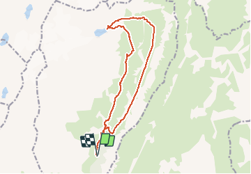
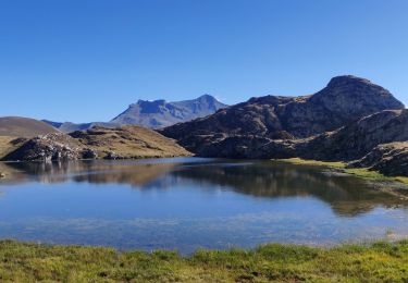
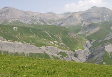
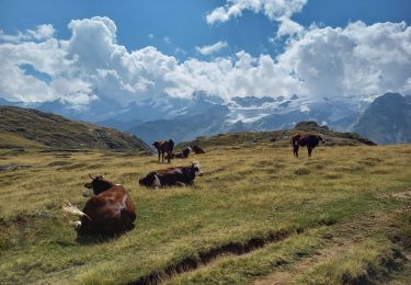
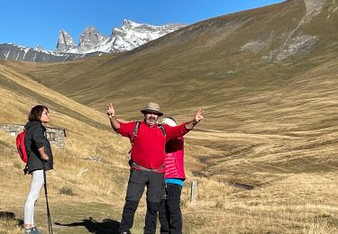
Trail Walking of 18.2 km to be discovered at Auvergne-Rhône-Alpes, Isère, Clavans-en-Haut-Oisans. This trail is proposed by Emelle.
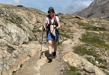
Une erreur d'itinéraire au départ pour accéder à l'Echine de Parouat, de fait raideur pour accéder à celle-ci.
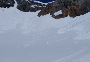
La moitiė du circuit se déroule hors sentier balisé voire hors sentier.
Recherche d'itinéraire pour rejoindre le lac des Quirlies par le haut.
Sinon, superbe rando dans un décor magnifique.


Walking
Snowshoes
Walking
Touring skiing
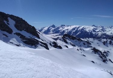
Touring skiing

sport
Walking
Walking
Walking