


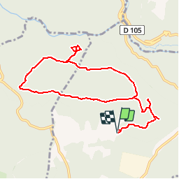

11.8 km | 16.4 km-effort


User


FREE GPS app for hiking
 SityTrail
IGN / Geographical institutes
SityTrail World
The world is yours!
Trail Walking of 10.8 km to be discovered at Provence-Alpes-Côte d'Azur, Var, Callian. This trail is proposed by verolande.
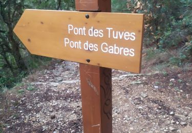
Chemin des Touars à Callian, prendre le chemin des Baumettes, passer devant la ferme photovoltaïque à droite, stationner à la villa des Baumettes
Walking

Walking

Walking
Walking
Walking

Walking

Walking
Walking
Walking