


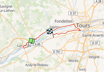

27 km | 31 km-effort


User


FREE GPS app for hiking
 SityTrail
IGN / Geographical institutes
SityTrail World
The world is yours!
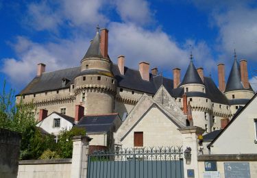
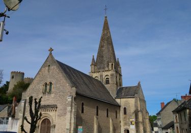
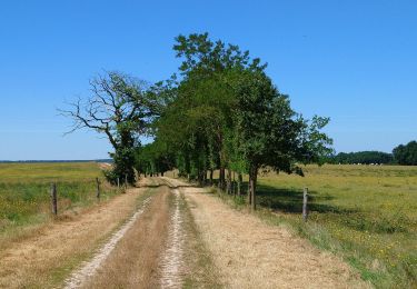
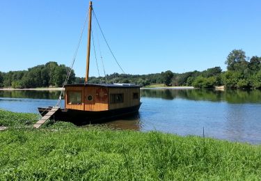
Trail Road bike of 42 km to be discovered at Centre-Loire Valley, Indre-et-Loire, La Chapelle-aux-Naux. This trail is proposed by pascalbouvier.
Walking
Walking
Walking

Walking
Walking
Walking
Walking
Walking

Walking