


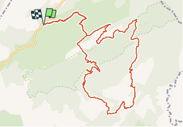

18.4 km | 28 km-effort


User GUIDE


FREE GPS app for hiking
 SityTrail
IGN / Geographical institutes
SityTrail World
The world is yours!
Trail Walking of 16.1 km to be discovered at Occitania, Hérault, Saint-Guilhem-le-Désert. This trail is proposed by randotines.
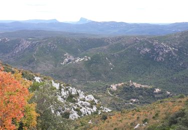
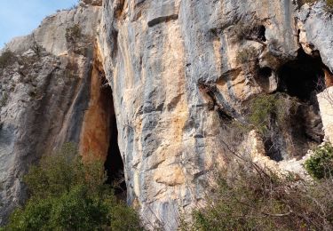
Au départ des Lavagnes ( 34 ), belle rando de 16 km qui fait le tour du Roc de la vigne dans la forêt de St Guilhem le désert avec une halte au hameau de l'estagnol.
Walking

Walking

Walking
Walking
Walking

Walking

Walking

Walking
Walking
Très beau parcours avec pause pique-nique au Hameau de l'espagnol. Bien suivre la trace GPS !