


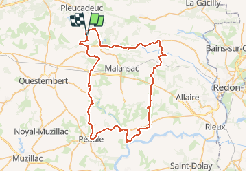

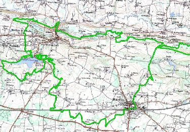
34 km | 40 km-effort


User


FREE GPS app for hiking
 SityTrail
IGN / Geographical institutes
SityTrail World
The world is yours!
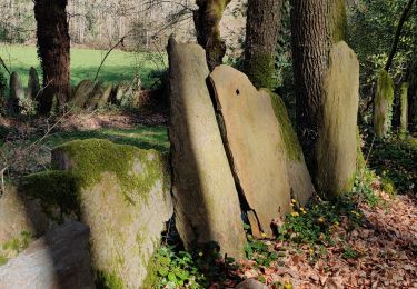
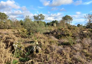
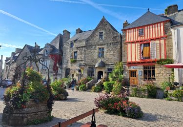
Trail Hybrid bike of 70 km to be discovered at Brittany, Morbihan, Pluherlin. This trail is proposed by grantair.
Belle balade de 70 km en VTC sur essentiellement des petites routes, peu de plat, assez ombragée. Repas du midi en terrasse à l'Escale au port fluvial de Folieux. Dénivelé de près de 1000 mètres

Mountain bike
On foot

Walking
Walking
Walking
Walking


sport
Walking
Walking