


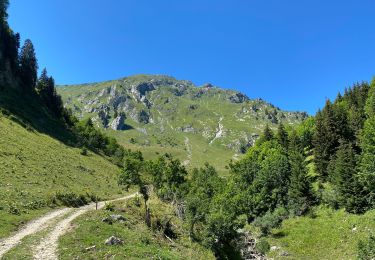
5.7 km | 10.6 km-effort


User


FREE GPS app for hiking
 SityTrail
IGN / Geographical institutes
SityTrail World
The world is yours!
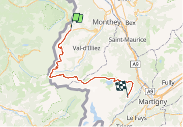
Trail Mountain bike of 47 km to be discovered at Valais/Wallis, Monthey, Troistorrents. This trail is proposed by ovronne.
Deuxième étape de la traversée des Alpes Suisse de St-Gingolph à Scuol.
Départ de Morgins, montée vers les Portes du Soleil et jusqu''au Col de Cou.
Descente et remontée vers le Pas d''Encel et Col de Susanfe. Descente du Vallon de Van et arrivée aux Marécottes.

Snowshoes

Snowshoes
Walking

Snowshoes

Walking
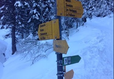
Snowshoes
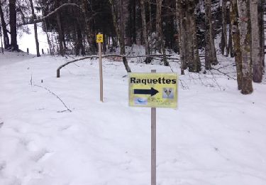
Snowshoes
Walking