


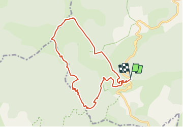

14.5 km | 26 km-effort

User


FREE GPS app for hiking
 SityTrail
IGN / Geographical institutes
SityTrail World
The world is yours!
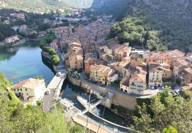
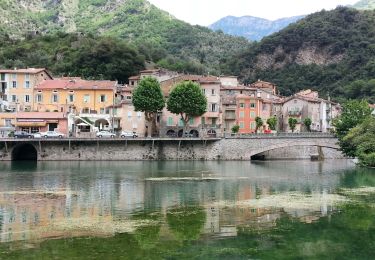
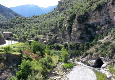
Trail Walking of 9.5 km to be discovered at Provence-Alpes-Côte d'Azur, Maritime Alps, Breil-sur-Roya. This trail is proposed by Gouze13.
Attention: à la descente, sur la crête, le sentier a quasiment disparu à partir de la côte 1300 m sur environ 250 m de dénivelée. Terrain broussailleux, er cheminement difficile hors sentier. Se repérer grâce à une croix et aux ruines qui parsèment ce versant.

On foot
On foot
On foot

On foot
On foot

Walking
Walking
Walking
Walking