


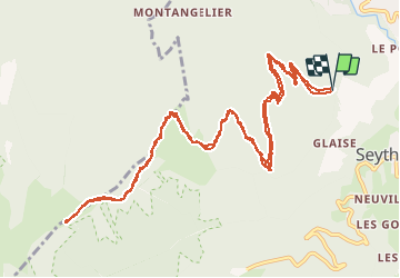

9.3 km | 22 km-effort


User


FREE GPS app for hiking
 SityTrail
IGN / Geographical institutes
SityTrail World
The world is yours!
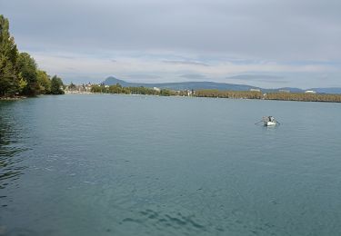
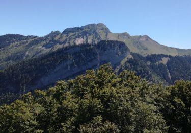
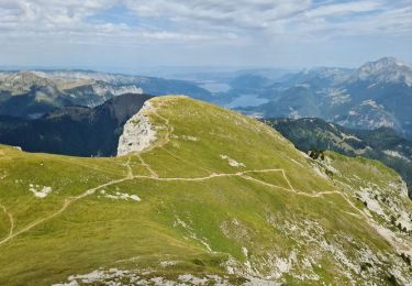
Trail Electric bike of 15.5 km to be discovered at Auvergne-Rhône-Alpes, Upper Savoy, Faverges-Seythenex. This trail is proposed by franquen.
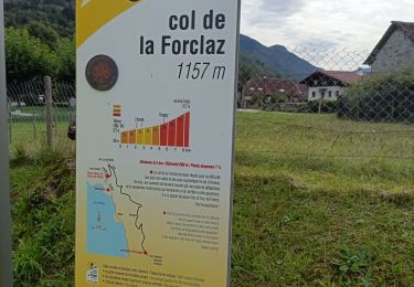
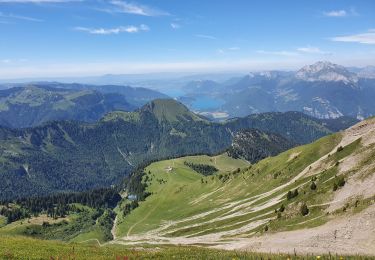
Un chemin un peu difficile car raide et très caillouteux mais la récompense est au bout : une vue magnifique sur le lac d'Annecy, un excellent acceuil et des beignets de pomme de terre succulents.

Walking
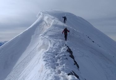
Touring skiing
Walking
Electric bike
Electric bike
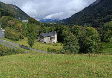
Walking
Walking
Walking
Walking