


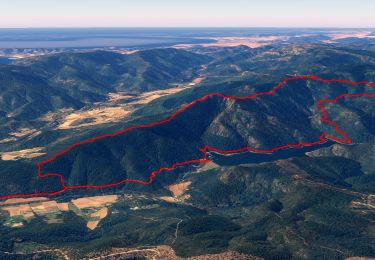
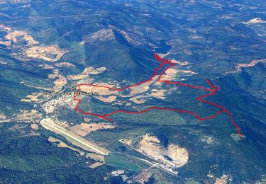
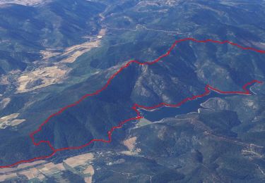
16.7 km | 25 km-effort

User GUIDE


FREE GPS app for hiking
 SityTrail
IGN / Geographical institutes
SityTrail World
The world is yours!
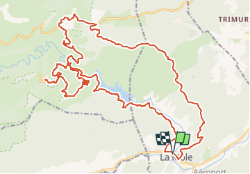
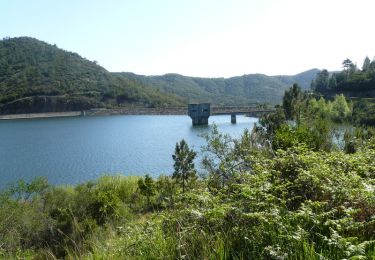
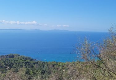
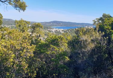
Trail Mountain bike of 34 km to be discovered at Provence-Alpes-Côte d'Azur, Var, La Môle. This trail is proposed by affinetataille.
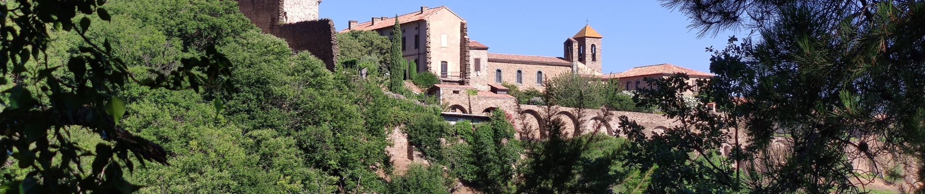
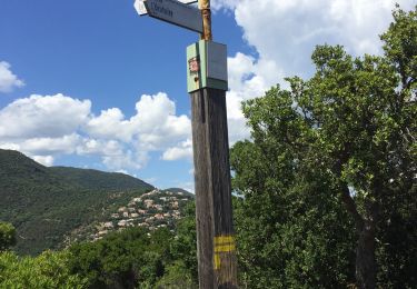
Remarque : la redescente du monastère se fait par un single assez difficile très pierreux .Si mal à l'aise dans ce type de terrain redescendre par la même piste que la montée.


Walking
Walking
Mountain bike
Walking
Walking
Walking
Walking
Trail
Walking