


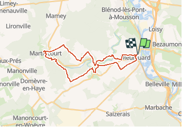

29 km | 35 km-effort


User


FREE GPS app for hiking
 SityTrail
IGN / Geographical institutes
SityTrail World
The world is yours!
Trail Walking of 28 km to be discovered at Grand Est, Meurthe-et-Moselle, Dieulouard. This trail is proposed by DanielROLLET.
2020 07 19 - 9h00 à 17h00 - beau temps chaud - Avec Marie
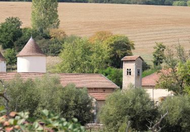
Beaucoup de route, ruisseau inabordable (clôtures) villages sans grand intérêt, Grand Orme qui est en fait un groupe de tilleuls.
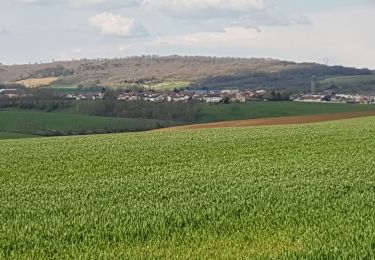
Beaucoup de découvert, attention au soleil.

Cycle
On foot

Mountain bike
Cycle
Road bike
Mountain bike

Walking
Walking
Walking