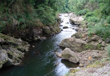
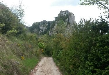
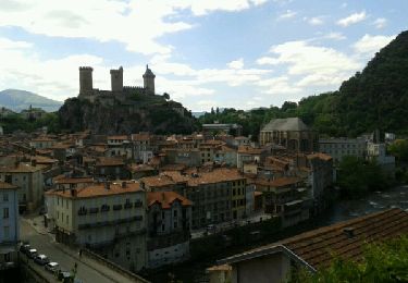
Trail Other activity Ganac - Bout de Touron - Photo

Bout de Touron

© OpenStreetMap contributors
Length
Length
10.1 km
Max alt
Max alt
1484 m
Uphill gradient
Uphill gradient
514 m
Km-Effort
Km-Effort  
17 km
Min alt
Min alt
1080 m
Downhill gradient
Downhill gradient
514 m
Boucle
Boucle
Yes
Creation date :
2014-12-10 00:00:00.0
Updated on :
2014-12-10 00:00:00.0

(0 Reviews)

Other activity
Other activity
4h30
Difficulty : Unknown

Scan this QR Code to open this trail in the SityTrail application

FREE GPS app for hiking

Logo SityTrail SityTrail

IGN / Geographical institutes

Download SityTrail from the App Store Download SityTrail from Google Play

Logo SityTrail SityTrail World

The world is yours!

Download SityTrail from the App Store Download SityTrail from Google Play Download SityTrail on Huawei AppGallery

About

Trail Other activity of 10.1 km to be discovered at Occitania, Ariège, Ganac. This trail is proposed by Freditsme1.

Description

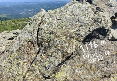
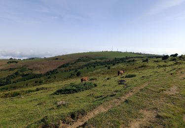
Lorsque la neige ne cesse de tomber et que les risques d'avalanche nous poussent loin des hauts sommets, le moment est idéal pour cheminer sur les pentes débonnaires du Prat d'Albis jusqu’au peu connu Bout de Touron.
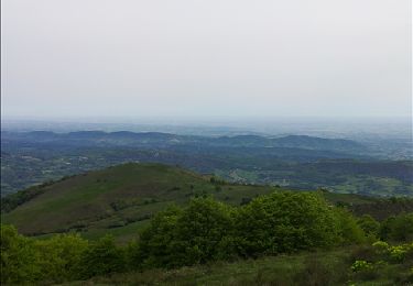
La randonnée ne présente pas de difficultés et offre une magnifique vue tout autour.
A réaliser de préférence lorsque la limite d’enneigement se situe à 1000m ou plus bas pour jouir du paysage magnifié par la neige.

Elevation profile

Points of interest

Point of interest Ganac - Prat de Redon - Photo
Freditsme1
Point of interest Prayols - Cab. Prat d Albis - Photo
Freditsme1
Point of interest Ganac - Cap Coume de l Orri - Photo
Freditsme1
Point of interest Montoulieu - Bout de Touron - Photo
Freditsme1
MONTOULIEU 
Point of interest Montoulieu - Cab. des Gardes - Photo
Freditsme1
MONTOULIEU 
Point of interest Montoulieu - Carrefour - Photo
Freditsme1
MONTOULIEU 

Positioning

Country:
France
Region :
Occitania
Department/Province :
Ariège
Municipality :
Ganac
Location:
Unknown
Start:(UTM)
384807 ; 4753771 (31T) N.

Trails nearby

Trail Walking Ganac - Prat d'Albis Alain Goudou  - Photo
Walking
GUIDE
Ada11

Walking

Medium
Ganac, Occitania, Ariège, France
12.8 km | 19.5 km-effort
5h 58min
Yes
Trail Mountain bike Ganac - Prat Albis - Verniolle - Photo
Mountain bike
daliot

Mountain bike

Difficult
(1)
Ganac, Occitania, Ariège, France
30 km | 36 km-effort
2h 30min
No
Trail Walking Prayols - Cuminge  - Photo
Walking
David Girabet

Walking

Easy
(1)
Prayols, Occitania, Ariège, France
3.5 km | 6.1 km-effort
1h 0min
Yes
Trail Walking Ganac - Prat d'Albis - Photo
Walking
caccini

Walking

Very easy
Ganac, Occitania, Ariège, France
8.6 km | 12.6 km-effort
3h 2min
No
Trail On foot Brassac - Le Picou depuis Brassac - Photo
On foot
GUIDE+

On foot

Easy
Brassac, Occitania, Ariège, France
5 km | 14.7 km-effort
3h 20min
No
Trail Walking Montoulieu - MONTOULIEU - GINABAT - Photo
Walking
RonanDAGORN

Walking

Medium
Montoulieu, Occitania, Ariège, France
7.1 km | 10.3 km-effort
1h 53min
Yes
Trail On foot Montoulieu - La cabane des gardes - Photo
On foot
c.chehere

On foot

Medium
Montoulieu, Occitania, Ariège, France
15.5 km | 25 km-effort
Unknown
Yes
Trail Walking Foix - 01 - FOIX à ROQUEFIXADE - Chemin des Bons-Hommes GR107 GR367 - Photo
Walking
jopost

Walking

Difficult
Foix, Occitania, Ariège, France
18.6 km | 30 km-effort
6h 36min
No
Trail Walking Foix - pech de foix - Photo
Walking
christian425

Walking

Very easy
(1)
Foix, Occitania, Ariège, France
7.5 km | 13.6 km-effort
3h 43min
Yes


Close
My subscriptions