


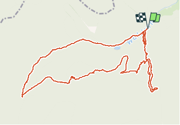

11.4 km | 18.5 km-effort


User


FREE GPS app for hiking
 SityTrail
IGN / Geographical institutes
SityTrail World
The world is yours!
Trail Walking of 7.1 km to be discovered at Grand Est, Haut-Rhin, Moosch. This trail is proposed by JCLUTT.
Une montée bien sportive jusqu'au Kolabi !!!

Walking

On foot

Walking

Walking
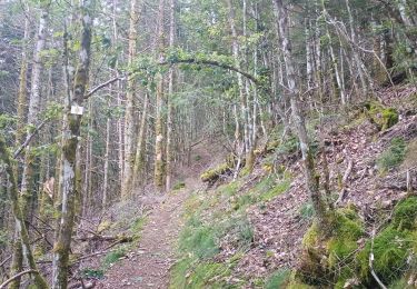
Walking
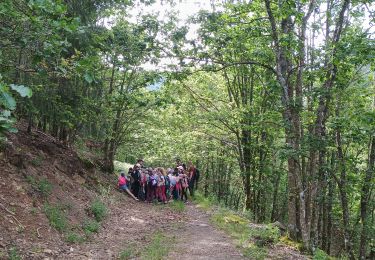
Walking

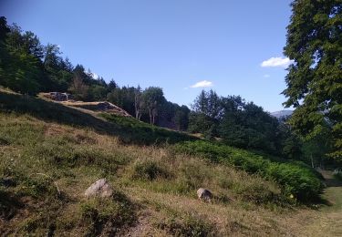
Walking
Walking