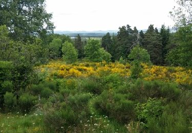
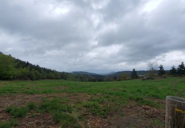
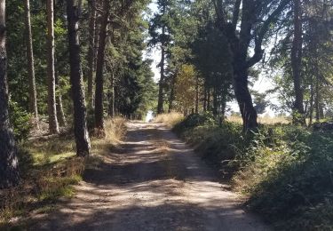
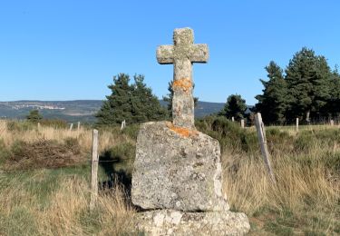
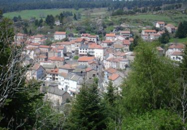
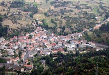
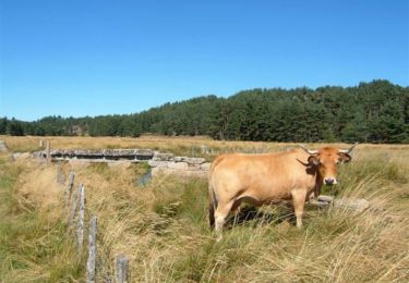
Trail Horseback riding Saint-Jean-la-Fouillouse - Etoile 27 km : Le Cellier - Gely - Photo

Etoile 27 km : Le Cellier - Gely

© OpenStreetMap contributors
Length
Length
27 km
Max alt
Max alt
1318 m
Uphill gradient
Uphill gradient
528 m
Km-Effort
Km-Effort  
34 km
Min alt
Min alt
1099 m
Downhill gradient
Downhill gradient
528 m
Boucle
Boucle
Yes
Creation date :
2020-07-16 08:31:33.886
Updated on :
2020-07-16 08:44:12.574

(0 Reviews)

Horseback riding
Horseback riding
5h00
Difficulty : Medium

Scan this QR Code to open this trail in the SityTrail application

FREE GPS app for hiking

Logo SityTrail SityTrail

IGN / Geographical institutes

Download SityTrail from the App Store Download SityTrail from Google Play

Logo SityTrail SityTrail World

The world is yours!

Download SityTrail from the App Store Download SityTrail from Google Play Download SityTrail on Huawei AppGallery

About

Trail Horseback riding of 27 km to be discovered at Occitania, Lozère, Saint-Jean-la-Fouillouse. This trail is proposed by Lozère Cheval.

Description

En passant par Le Sap

Elevation profile

Points of interest

Point of interest Auroux - Passage sous clôture - Photo
Lozère Cheval
Point of interest Grandrieu - Point d'eau - Photo
Lozère Cheval
GRANDRIEU 

Positioning

Country:
France
Region :
Occitania
Department/Province :
Lozère
Municipality :
Saint-Jean-la-Fouillouse
Location:
Unknown
Start:(UTM)
556818 ; 4951045 (31T) N.

Trails nearby

Trail Walking Auroux - Auroux en passant par Soulage et la croix de Parpaillon  - Photo
Walking
alainjoseph6

Walking

Medium
Auroux, Occitania, Lozère, France
9.6 km | 13.3 km-effort
3h 17min
Yes
Trail Walking Auroux - parpaillon - Photo
Walking
TOULAUDIN

Walking

Very easy
Auroux, Occitania, Lozère, France
8.8 km | 12.6 km-effort
3h 24min
Yes
Trail Walking Chastanier - rando chastagnier chemin prive - Photo
Walking
attelageplaisir

Walking

Medium
Chastanier, Occitania, Lozère, France
7.3 km | 9.8 km-effort
2h 22min
Yes
Trail Walking Rocles - Palhères - lac de Naussac - Bessettes - Photo
Walking
g.chotel

Walking

Easy
Rocles, Occitania, Lozère, France
11.2 km | 13.5 km-effort
2h 17min
Yes
Trail Mountain bike Auroux - Espace VTT FFC du Gévaudan - n°12 - Circuit du Château - Photo
Mountain bike
tracegps

Mountain bike

Difficult
Auroux, Occitania, Lozère, France
14.7 km | 19.8 km-effort
2h 0min
Yes
Trail Mountain bike Auroux - Espace VTT FFC du Gévaudan - n°11 - Circuit du Chapeauroux - Photo
Mountain bike
tracegps

Mountain bike

Medium
Auroux, Occitania, Lozère, France
9.1 km | 11.4 km-effort
1h 0min
Yes
Trail Mountain bike Chastanier - Espace VTT FFC du Gévaudan - n°06 - Circuit de Bessettes - Photo
Mountain bike
tracegps

Mountain bike

Medium
Chastanier, Occitania, Lozère, France
8.9 km | 11.8 km-effort
1h 0min
Yes
Trail sport Naussac-Fontanes - 6Ra jeudi - Photo
sport
manu69002

sport

Very easy
Naussac-Fontanes, Occitania, Lozère, France
44 km | 72 km-effort
Unknown
No
Trail Mountain bike Grandrieu - Sodo reco - Photo
Mountain bike
Halberstadt

Mountain bike

Easy
Grandrieu, Occitania, Lozère, France
13.1 km | 17.3 km-effort
1h 46min
Yes


Close
My subscriptions