

essoyes chemin gabrielle renard
© OpenStreetMap contributors


3h23
Difficulty : Medium


Length
12.4 km

Max alt
311 m

Uphill gradient
245 m

Km-Effort
15.6 km

Min alt
182 m

Downhill gradient
239 m
Boucle
Yes
Creation date :
2014-12-10 00:00:00.0
Updated on :
2014-12-10 00:00:00.0
3h23
Difficulty : Medium

FREE GPS app for hiking
About
Trail Walking of 12.4 km to be discovered at Grand Est, Aube, Essoyes. This trail is proposed by nicole.reine@wanadoo.fr.
Description
départ place de la mairie d'essoyes ou du parking du cimetière de verpillères sur ources
sinon il existe un chemin derrière la mairie pour se garer
Positioning
Country:
France
Region :
Grand Est
Department/Province :
Aube
Municipality :
Essoyes
Location:
Unknown
Start:(Dec)
Start:(UTM)
614435 ; 5323847 (31U) N.
Comments
Trails nearby
essoyes viviers s artaut


Walking
Easy
Essoyes,
Grand Est,
Aube,
France

21 km | 26 km-effort
6h 8min
Yes
Les Chemins de Renoir - Chemin montant dans les hautes herbes


Walking
Easy
Essoyes,
Grand Est,
Aube,
France

3 km | 4.1 km-effort
45min
Yes
Les Chemins de Renoir : Circuit Gabrielle Renard


Walking
Medium
Essoyes,
Grand Est,
Aube,
France

11.8 km | 15 km-effort
3h 0min
Yes

Les Chemins de Renoir : Circuit Aline Charigot


Walking
Medium
Essoyes,
Grand Est,
Aube,
France

6.4 km | 8.2 km-effort
1h 45min
Yes
Les chemins de Renoir: Circuit P.A Renoir


Walking
Medium
(2)
Essoyes,
Grand Est,
Aube,
France

10.8 km | 12.9 km-effort
3h 0min
Yes
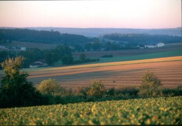
Au Pays de Renoir - Essoyes


Cycle
Medium
Essoyes,
Grand Est,
Aube,
France

64 km | 76 km-effort
3h 0min
Yes


Combe aux Loups 2


Walking
Very difficult
Courteron,
Grand Est,
Aube,
France

18.9 km | 25 km-effort
5h 39min
Yes


 SityTrail


