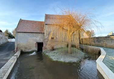
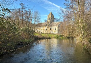
6 km | 6.5 km-effort
Rots 2020 balade patrimoine
aubinjoel
User
Length
6.8 km
Max alt
62 m
Uphill gradient
57 m
Km-Effort
7.6 km
Min alt
44 m
Downhill gradient
56 m
Boucle
Yes
Creation date :
2020-07-13 14:47:37.918
Updated on :
2020-07-13 14:48:50.976
FREE GPS app for hiking
About
Trail of 6.8 km to be discovered at Normandy, Calvados, Rots. This trail is proposed by aubinjoel.
Positioning
Country:
France
Region :
Normandy
Department/Province :
Calvados
Municipality :
Rots
Location:
Rots
Start:(Dec)
Start:(UTM)
683932 ; 5454037 (30U) N.
Comments
Trails nearby
Départ Cairon
sport
Very easy
Cairon,
Normandy,
Calvados,
France
14.1 km | 15.9 km-effort
Unknown
Yes
Cairon-la mer
Mountain bike
Very difficult
Cairon,
Normandy,
Calvados,
France
46 km | 50 km-effort
4h 24min
Yes
Rando d’Henry
Mountain bike
Very easy
Thaon,
Normandy,
Calvados,
France
14.4 km | 16.4 km-effort
1h 45min
Yes
Bretteville
Walking
Very easy
Thue et Mue,
Normandy,
Calvados,
France
3.2 km | 3.4 km-effort
1h 4min
Yes
Secqueville En Bessin (Vallée de la Thue)
Walking
Very easy
Rots,
Normandy,
Calvados,
France
10.5 km | 12 km-effort
3h 20min
Yes
rots Masson 11,5 kms
Nordic walking
Easy
Rots,
Normandy,
Calvados,
France
12.2 km | 13.2 km-effort
2h 56min
Yes